MyTopo
Red Mills New York US Topo Map
Couldn't load pickup availability
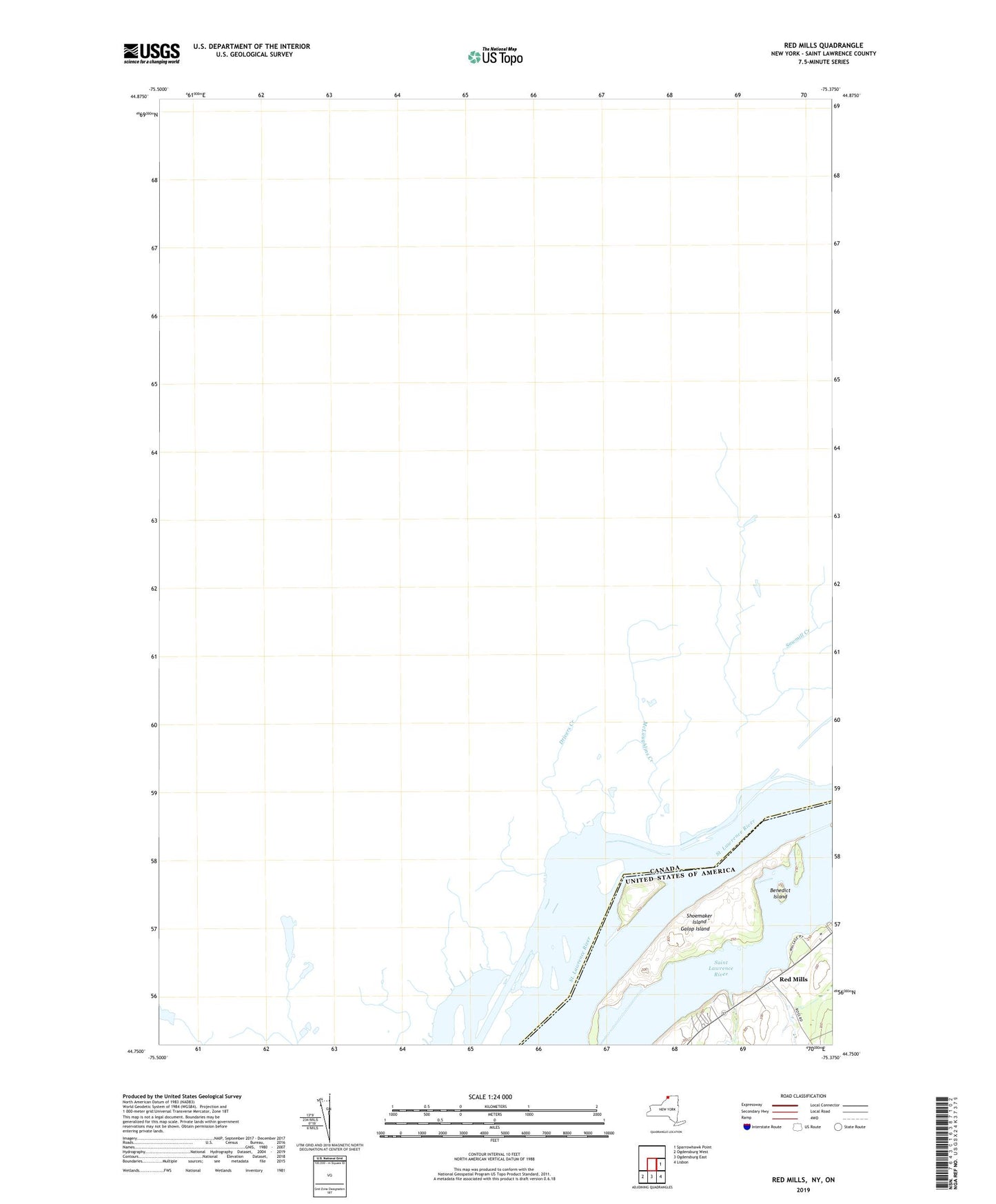
2019 topographic map quadrangle Red Mills in the state of New York. Scale: 1:24000. Based on the newly updated USGS 7.5' US Topo map series, this map is in the following counties: St. Lawrence. The map contains contour data, water features, and other items you are used to seeing on USGS maps, but also has updated roads and other features. This is the next generation of topographic maps. Printed on high-quality waterproof paper with UV fade-resistant inks.
Quads adjacent to this one:
East: Sparrowhawk Point
Southeast: Lisbon
South: Ogdensburg East
Southwest: Ogdensburg West
Contains the following named places: Benedict Island, Dillingham Island, Dixon Island, Galop Island, Galop Rapids, Parish Dock, Red Mills, Sears Island, Shoemaker Island, Tick Island, Twin Island