MyTopo
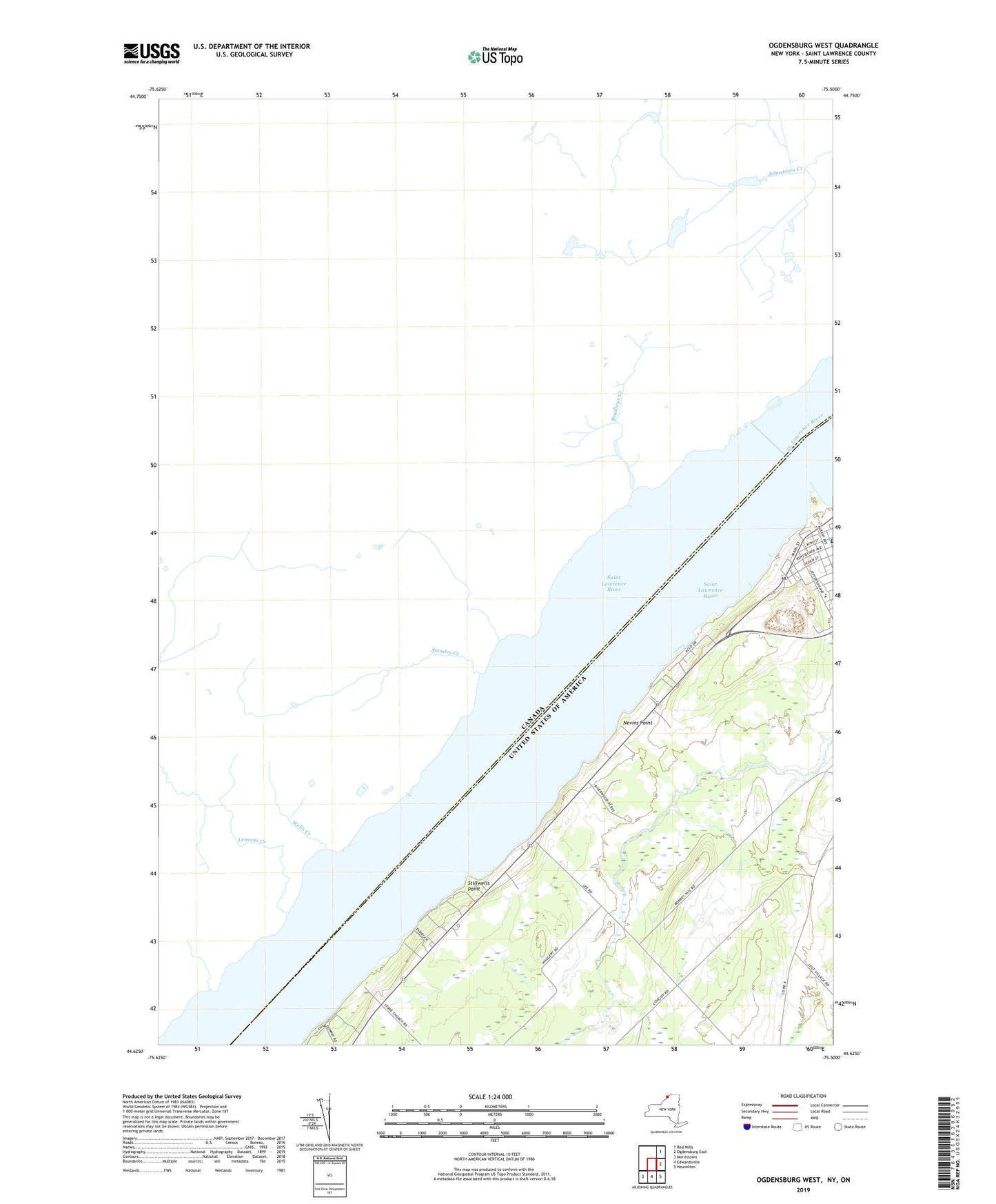
Ogdensburg West New York US Topo Map
Couldn't load pickup availability
2023 topographic map quadrangle Ogdensburg West in the state of New York. Scale: 1:24000. Based on the newly updated USGS 7.5' US Topo map series, this map is in the following counties: St. Lawrence. The map contains contour data, water features, and other items you are used to seeing on USGS maps, but also has updated roads and other features. This is the next generation of topographic maps. Printed on high-quality waterproof paper with UV fade-resistant inks.
Quads adjacent to this one:
Northeast: Red Mills
East: Ogdensburg East
Southeast: Heuvelton
South: Edwardsville
Southwest: Morristown
This map covers the same area as the classic USGS quad with code o44075f5.
Contains the following named places: C Way Drive-In, Cedars Nursing Home, Fishel Farms, Madill School, Mater Dei College, Nevins Point, Notre Dame De La Victoire Roman Catholic Church, Ogdensburg Country Club, Pythian Home, Saint Joseph's School, Saint Lawrence Park, Saint Lawrence State Park Golf Course, School Number 1, School Number 3, School Number 6, Stillwells Point, United Helpers Nursing Home, Wadhams Hall Seminary, Washington School


