MyTopo
Sempronius New York US Topo Map
Couldn't load pickup availability
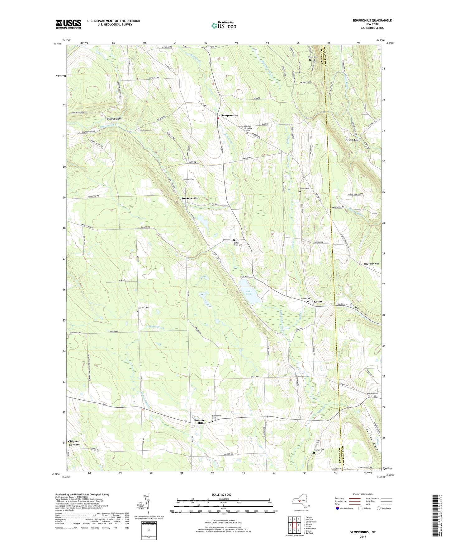
2019 topographic map quadrangle Sempronius in the state of New York. Scale: 1:24000. Based on the newly updated USGS 7.5' US Topo map series, this map is in the following counties: Cayuga, Cortland. The map contains contour data, water features, and other items you are used to seeing on USGS maps, but also has updated roads and other features. This is the next generation of topographic maps. Printed on high-quality waterproof paper with UV fade-resistant inks.
Quads adjacent to this one:
West: Moravia
Northwest: Owasco
North: Spafford
Northeast: Otisco Valley
East: Homer
Southeast: Cortland
South: Groton
Southwest: West Groton
Contains the following named places: Atwater - Reynolds Cemetery, Bear Swamp State Forest, Como, Dresserville, Dresserville Baptist Church, Eaton Cemetery, Eaton Road Cemetery, Four Town Corners, Grout Mill, Halls Corner, Hardy Corners, Hinman Cemetery, Lake Como, Lake Como Outlet, Lickville Cemetery, Mill Brook, Morse Mill, Murphy Corners, Sand Hill Cemetery, School Number 1, School Number 2, School Number 3, School Number 4, School Number 5, School Number 6, School Number 7, School Number 8, Scott Gulf, Searls Cemetery, Sempronius, Sempronius Baptist Church, Sempronius Fire Department, Sherman Gulf, Summer Hill, Summer Hill Church, Summer Hill State Forest, Summerhill Cemetery, Town of Sempronius, Town of Summerhill, Wards Corners, West Hill Cemetery, Whispering Hill Farms, Wilcox Cemetery