MyTopo
West Groton New York US Topo Map
Couldn't load pickup availability
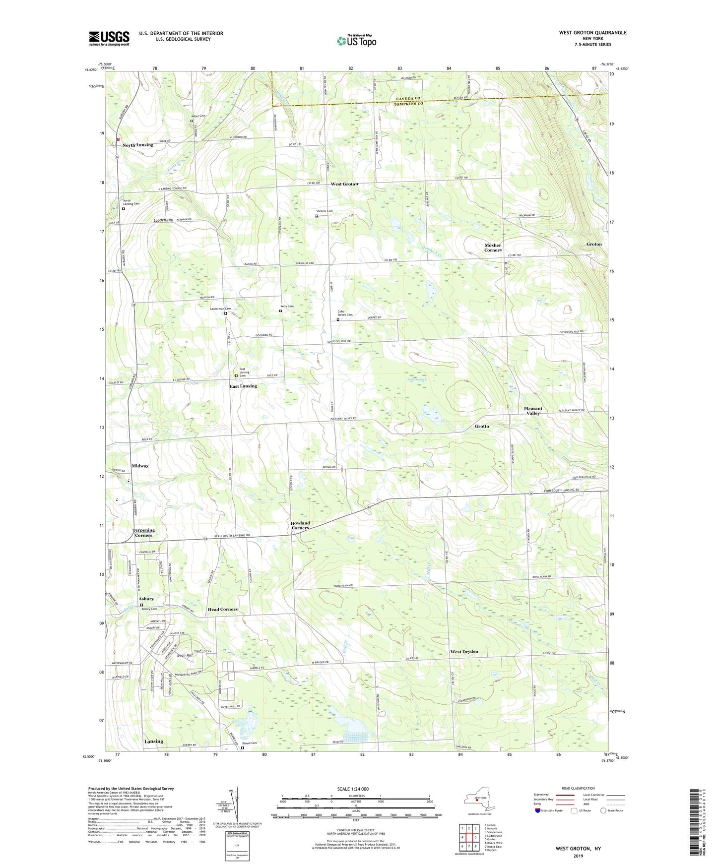
2023 topographic map quadrangle West Groton in the state of New York. Scale: 1:24000. Based on the newly updated USGS 7.5' US Topo map series, this map is in the following counties: Tompkins, Cayuga. The map contains contour data, water features, and other items you are used to seeing on USGS maps, but also has updated roads and other features. This is the next generation of topographic maps. Printed on high-quality waterproof paper with UV fade-resistant inks.
Quads adjacent to this one:
West: Ludlowville
Northwest: Genoa
North: Moravia
Northeast: Sempronius
East: Groton
Southeast: Dryden
South: Ithaca East
Southwest: Ithaca West
This map covers the same area as the classic USGS quad with code o42076e4.
Contains the following named places: Asbury, Asbury Cemetery, Asbury Church, Bakers Acres of North Lansing, Beacon View Village Mobile Home Park, Bean Hill, Bear Swamp, Benson Corners, Brown Cemetery, Buck Corners, Bush Landing Strip, Cobb Street Cemetery, Cornell University Radiation Biology Laborat, East Lansing, East Lansing Cemetery, East Lansing Church, Faith Baptist Fellowship, Grotto, Head Corners, Highland Harbor Farm, Howland Corners, Howser Corners, Kelly Cemetery, Kelviden Farm, Kingdom Farms, Kirksway Farm, Lansing Fire Department Station 4, Lanterman Cemetery, Lobdell Hill, Louis Gossett Junior Residential Center for Boys, Ludlow Corners, Midway, Miller Cemetery, Moore's Christmas Tree Farm, Mosher Corners, Munson Corners, North Lansing, North Lansing Cemetery, Pierce Aero Landing Strip, Pierson Corners, Pleasant Valley, Pleasant Valley Gardens, Sandyside Dairy, School Number 1, School Number 14, School Number 17, School Number 18, School Number 19, School Number 2, School Number 21, School Number 22, School Number 5, School Number 7, School Number 8, Smith Corners, South Lansing Census Designated Place, South Lansing School for Girls, Stearns Cemetery, Terpening Corners, Van Ostrand Corners, West Dryden, West Groton, West Groton Bible Church, ZIP Code: 13073


