MyTopo
Browns Inlet North Carolina US Topo Map
Couldn't load pickup availability
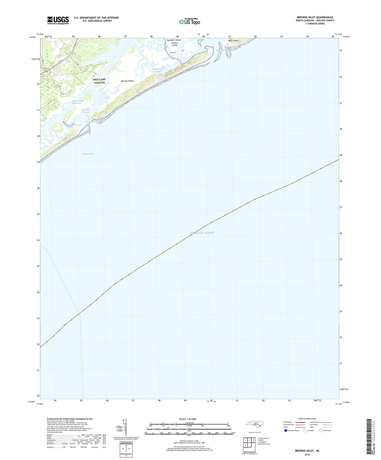
2022 topographic map quadrangle Browns Inlet in the state of North Carolina. Scale: 1:24000. Based on the newly updated USGS 7.5' US Topo map series, this map is in the following counties: Onslow. The map contains contour data, water features, and other items you are used to seeing on USGS maps, but also has updated roads and other features. This is the next generation of topographic maps. Printed on high-quality waterproof paper with UV fade-resistant inks.
Quads adjacent to this one:
West: New River Inlet
Northwest: Camp Lejeune
North: Hubert
Northeast: Swansboro
This map covers the same area as the classic USGS quad with code o34077e2.
Contains the following named places: Banks Channel, Bear Creek, Bear Inlet, Browns Creek, Browns Inlet, Browns Island, Browns Sound, Freeman Creek, Onslow Bay, Sanders Creek, Shacklefoot Channel