MyTopo
Buxton North Carolina US Topo Map
Couldn't load pickup availability
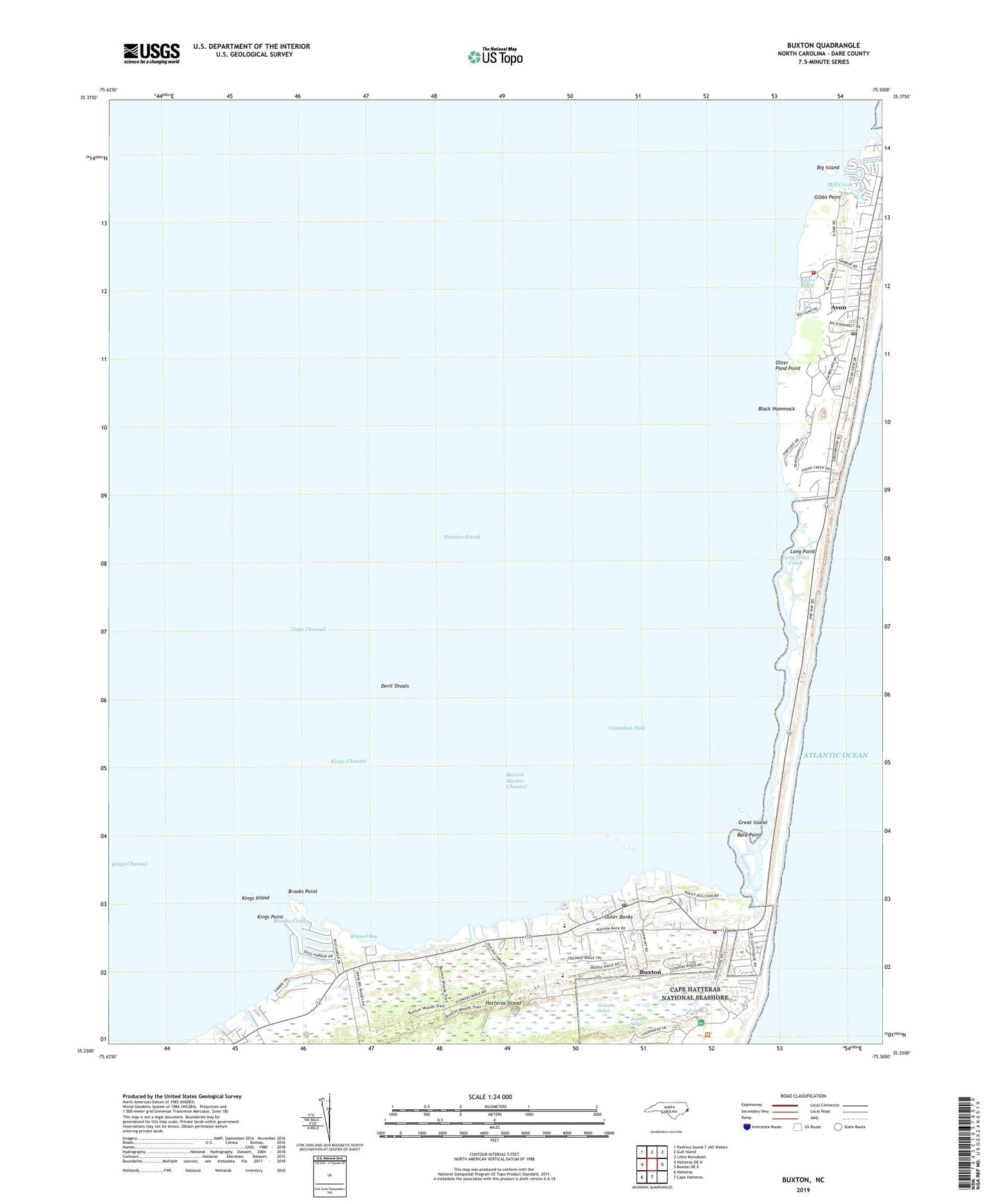
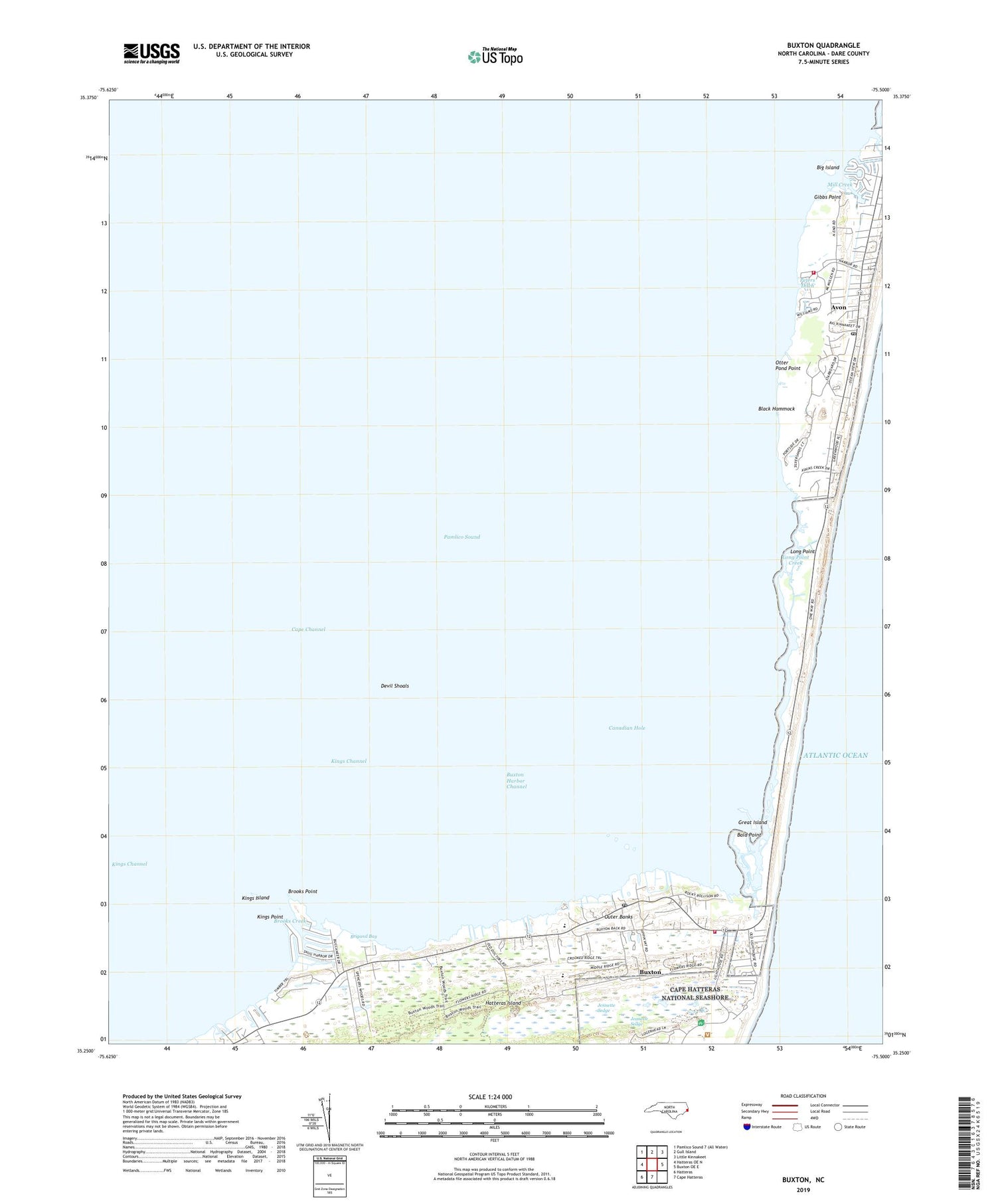
2019 topographic map quadrangle Buxton in the state of North Carolina. Scale: 1:24000. Based on the newly updated USGS 7.5' US Topo map series, this map is in the following counties: Dare. The map contains contour data, water features, and other items you are used to seeing on USGS maps, but also has updated roads and other features. This is the next generation of topographic maps. Printed on high-quality waterproof paper with UV fade-resistant inks.
Quads adjacent to this one:
West: Hatteras OE N
North: Gull Island
Northeast: Little Kinnakeet
East: Buxton OE E
South: Cape Hatteras
Southwest: Hatteras
Contains the following named places: Askins Creek, Avon, Avon Census Designated Place, Avon Fire Department Station 46, Avon Post Office, Bald Point, Big Island, Big Kinnakeet Coast Guard Station, Black Hammock, Boat Creek, Brigand Bay, Brooks Creek, Brooks Point, Buxton, Buxton Census Designated Place, Buxton Fire Department Station 44, Buxton Harbor Channel, Buxton Landing, Buxton Post Office, Buxton Woods, Canadian Hole, Cape Channel, Cape Creek, Cape Hatteras Lighthouse, Cape Hatteras Union School, Chaneandepeco Inlet, Coast Guard Field Office Cape Hatteras, Dare County Emergency Medical Services Station 3, Devil Shoals, Gibbs Point, Great Island, Hatteras Island Rescue Squad Station 35, Jeanette Sedge, Jennette Sedge, Kings Channel, Kings Island, Kings Point, Long Point, Long Point Creek, Mill Creek, Otter Pond Point, Peters Ditch, Spencer Creek, ZIP Codes: 27915, 27920