MyTopo
Horsepen Point North Carolina US Topo Map
Couldn't load pickup availability
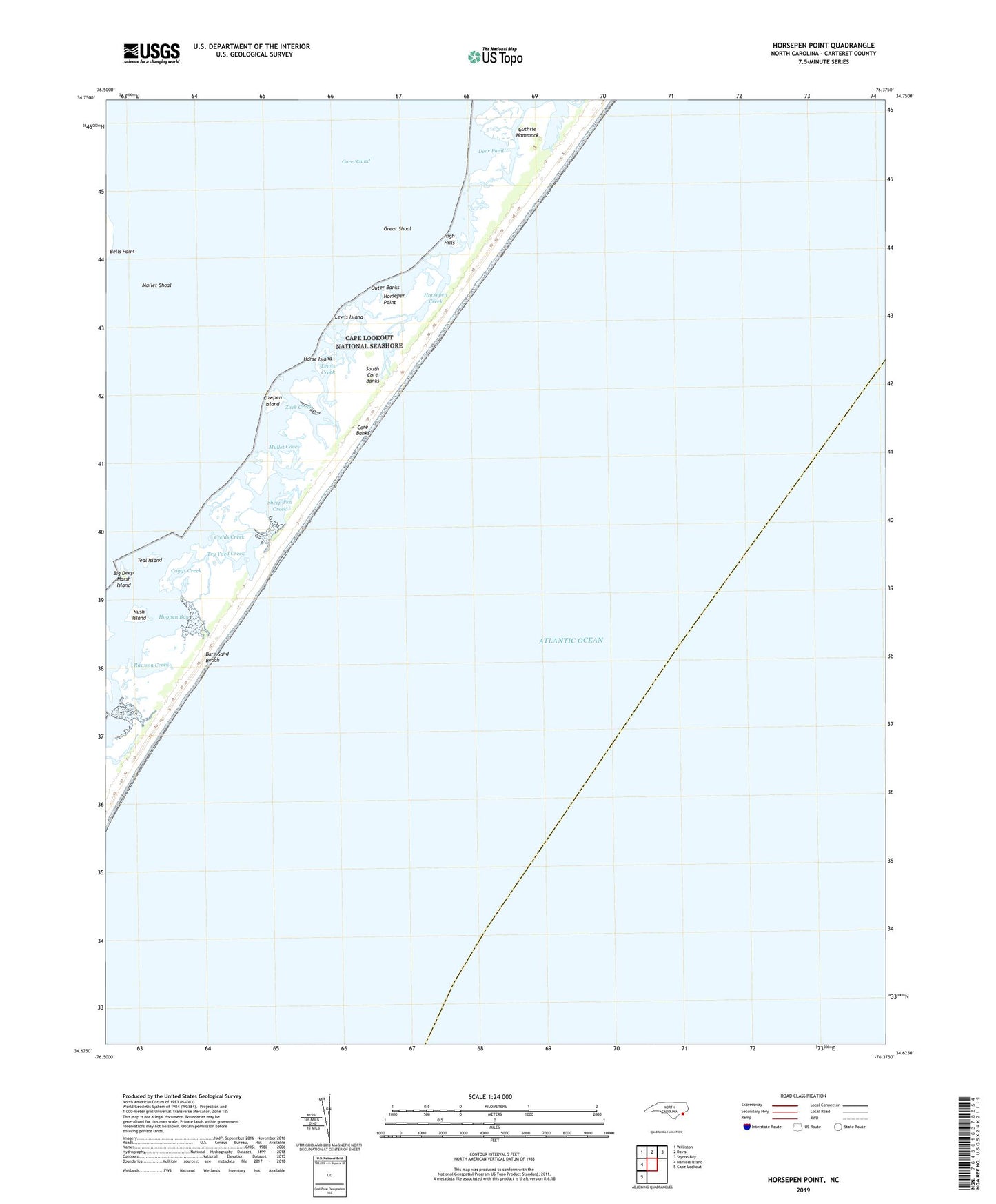
2019 topographic map quadrangle Horsepen Point in the state of North Carolina. Scale: 1:24000. Based on the newly updated USGS 7.5' US Topo map series, this map is in the following counties: Carteret. The map contains contour data, water features, and other items you are used to seeing on USGS maps, but also has updated roads and other features. This is the next generation of topographic maps. Printed on high-quality waterproof paper with UV fade-resistant inks.
Quads adjacent to this one:
West: Harkers Island
Northwest: Williston
North: Davis
Northeast: Styron Bay
Southwest: Cape Lookout
Contains the following named places: Bare Sand Beach, Bells Point, Big Deep Marsh Island, Caggs Creek, Codds Creek, Cowpen Island, Deer Pond, Great Shoal, Guthrie Hammock, High Hills, Hogpen Bay, Horse Island, Horsepen Creek, Horsepen Point, Iron Creek, Lewis Creek, Lewis Island, Mullet Cove, Mullet Shoal, Rawson Creek, Rush Island, Sheep Pen Creek, South Core Banks, Teal Island, Township of Smyrna, Try Yard Creek, Zack Creek