MyTopo
Lobelia North Carolina US Topo Map
Couldn't load pickup availability
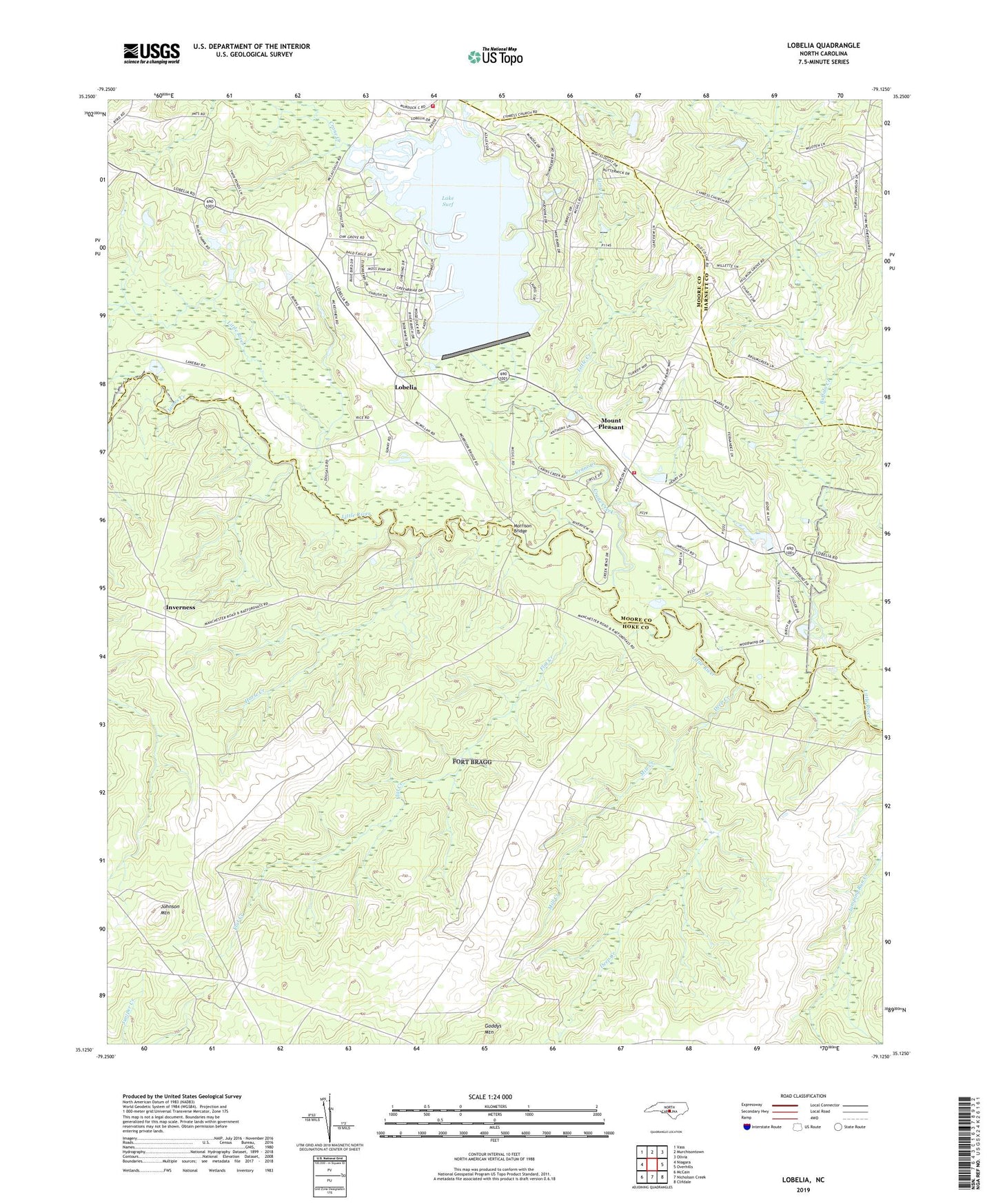
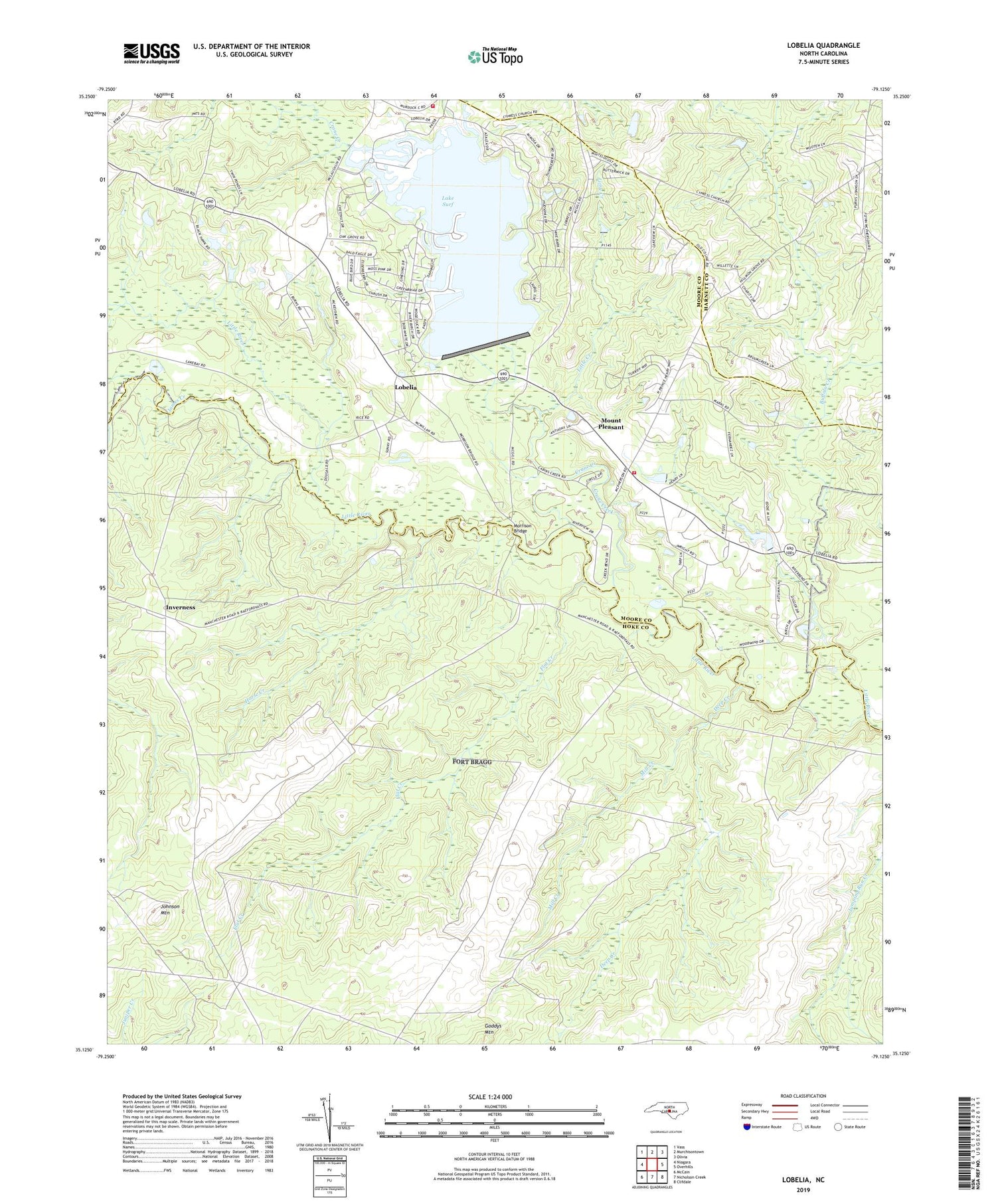
2019 topographic map quadrangle Lobelia in the state of North Carolina. Scale: 1:24000. Based on the newly updated USGS 7.5' US Topo map series, this map is in the following counties: Hoke, Moore, Harnett. The map contains contour data, water features, and other items you are used to seeing on USGS maps, but also has updated roads and other features. This is the next generation of topographic maps. Printed on high-quality waterproof paper with UV fade-resistant inks.
Quads adjacent to this one:
West: Niagara
Northwest: Vass
North: Murchisontown
Northeast: Olivia
East: Overhills
Southeast: Clifdale
South: Nicholson Creek
Southwest: McCain
Contains the following named places: Buffalo Creek, Crains Creek Fire Department, Crane Creek, Cypress Church, Cypress Creek, Cypress Pointe Fire and Rescue Station 3 - Woodlake, Deep Creek, E L Hendrick Dam, E M Simpson Dam, Flat Creek, Frys Chapel, Horse Creek, Inverness, James Creek, Johnson Mountain, Lake Surf, Lake Surf Dam, Little Creek, Lobelia, Mill Creek, Morrison Bridge, Mount Pleasant, Mount Pleasant Church, Oak Ridge Church, Ranger Station Number 3, Township 10-Little River, Tuckahoe Creek, ZIP Code: 28394