MyTopo
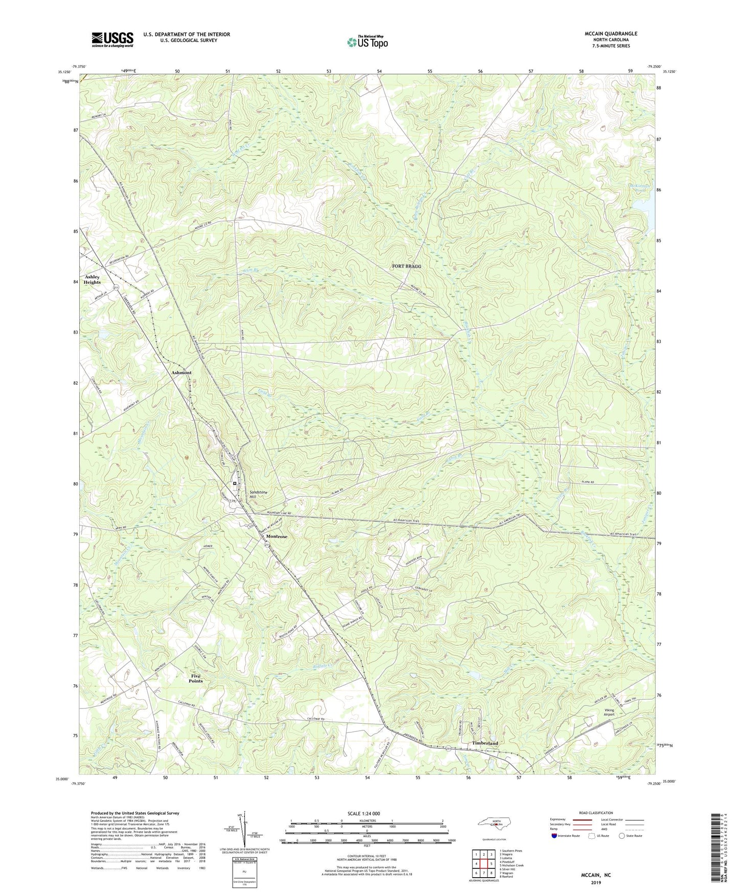
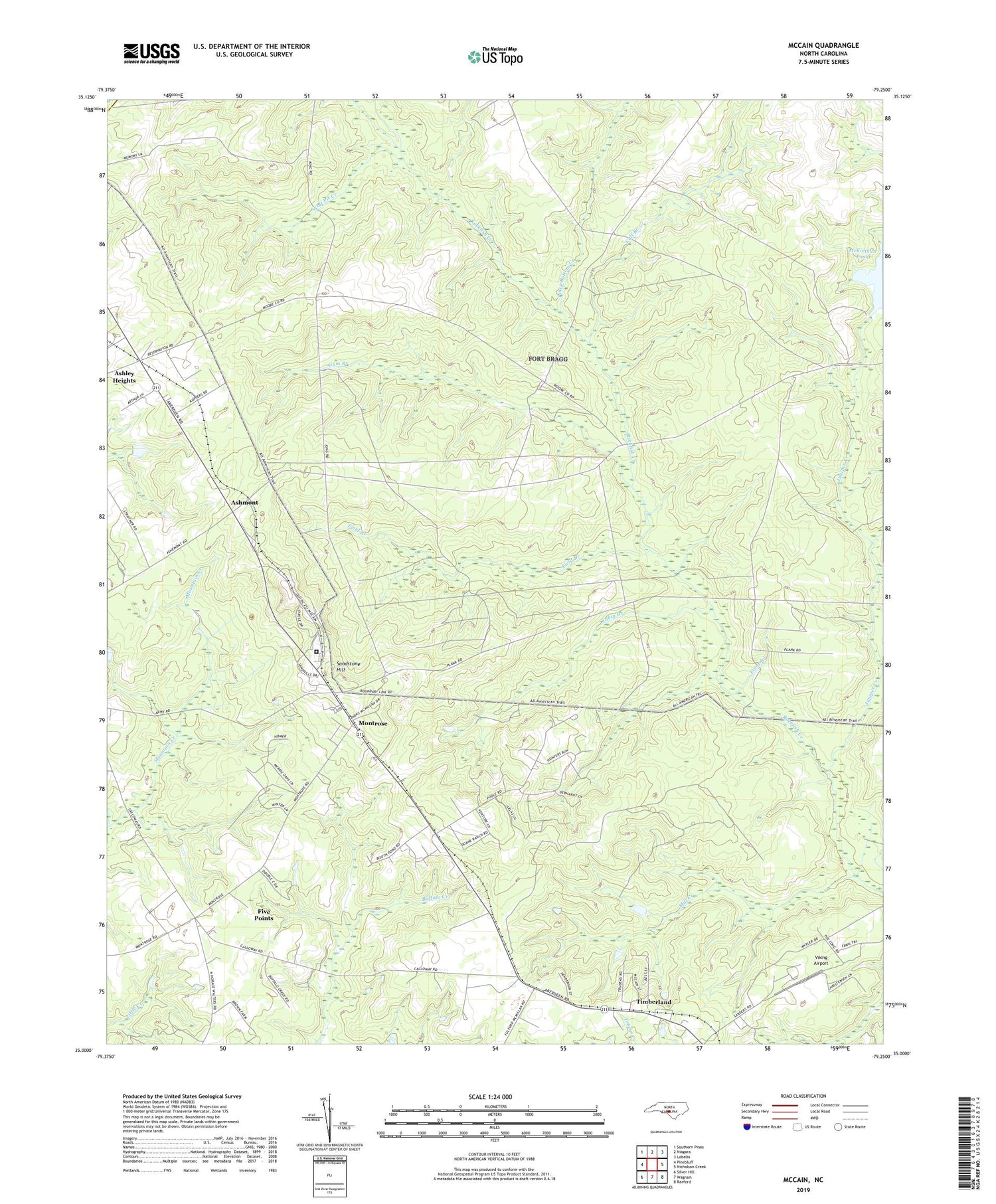
McCain North Carolina US Topo Map
Couldn't load pickup availability
2019 topographic map quadrangle McCain in the state of North Carolina. Scale: 1:24000. Based on the newly updated USGS 7.5' US Topo map series, this map is in the following counties: Hoke, Moore. The map contains contour data, water features, and other items you are used to seeing on USGS maps, but also has updated roads and other features. This is the next generation of topographic maps. Printed on high-quality waterproof paper with UV fade-resistant inks.
Quads adjacent to this one:
West: Pinebluff
Northwest: Southern Pines
North: Niagara
Northeast: Lobelia
East: Nicholson Creek
Southeast: Raeford
South: Wagram
Southwest: Silver Hill
Contains the following named places: Ashley Heights, Ashley Heights Census Designated Place, Ashmont, Cabin Branch, Cabin Branch Mill Pond, Calf Branch, Field Branch, Five Points, Five Points Census Designated Place, Graham City Lake Number One, Graham City Lake Number One Dam, Gum Branch, Hoke Correctional Institution, Juniper Creek, McCain, McKiethan Pond, Mill Creek, Montrose, NC Noname Thirty-Six Dam, Piney Bottom Creek, Pooles Siding, Sandstone Hill, Sandy Grove Church, Timberland, Township of Quewhiffle, Trent Branch, Viking Airport, Wolf Pit Creek