
MyTopo
Middletown Anchorage North Carolina US Topo Map
Couldn't load pickup availability
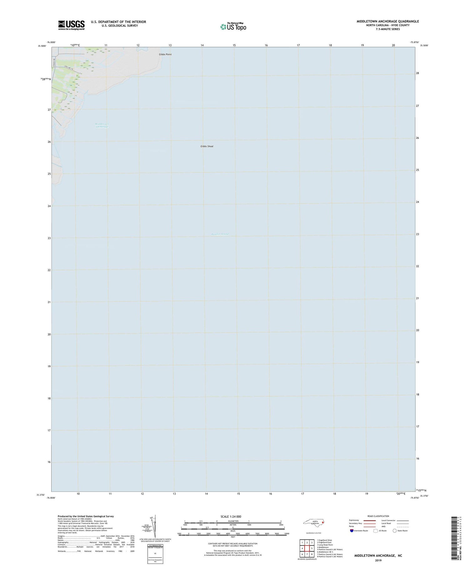
2019 topographic map quadrangle Middletown Anchorage in the state of North Carolina. Scale: 1:24000. Based on the newly updated USGS 7.5' US Topo map series, this map is in the following counties: Hyde. The map contains contour data, water features, and other items you are used to seeing on USGS maps, but also has updated roads and other features. This is the next generation of topographic maps. Printed on high-quality waterproof paper with UV fade-resistant inks.
Quads adjacent to this one:
West: Middletown
Northwest: Engelhard West
North: Engelhard East
Northeast: Long Shoal Point
Southwest: Middletown OE S
Contains the following named places: Back Creek, Burrus Creek, Cedar Creek, Gibbs Shoal, Lone Tree Creek, Middletown Anchorage, Middletown Creek, Township of Lake Landing


