MyTopo
Engelhard West North Carolina US Topo Map
Couldn't load pickup availability
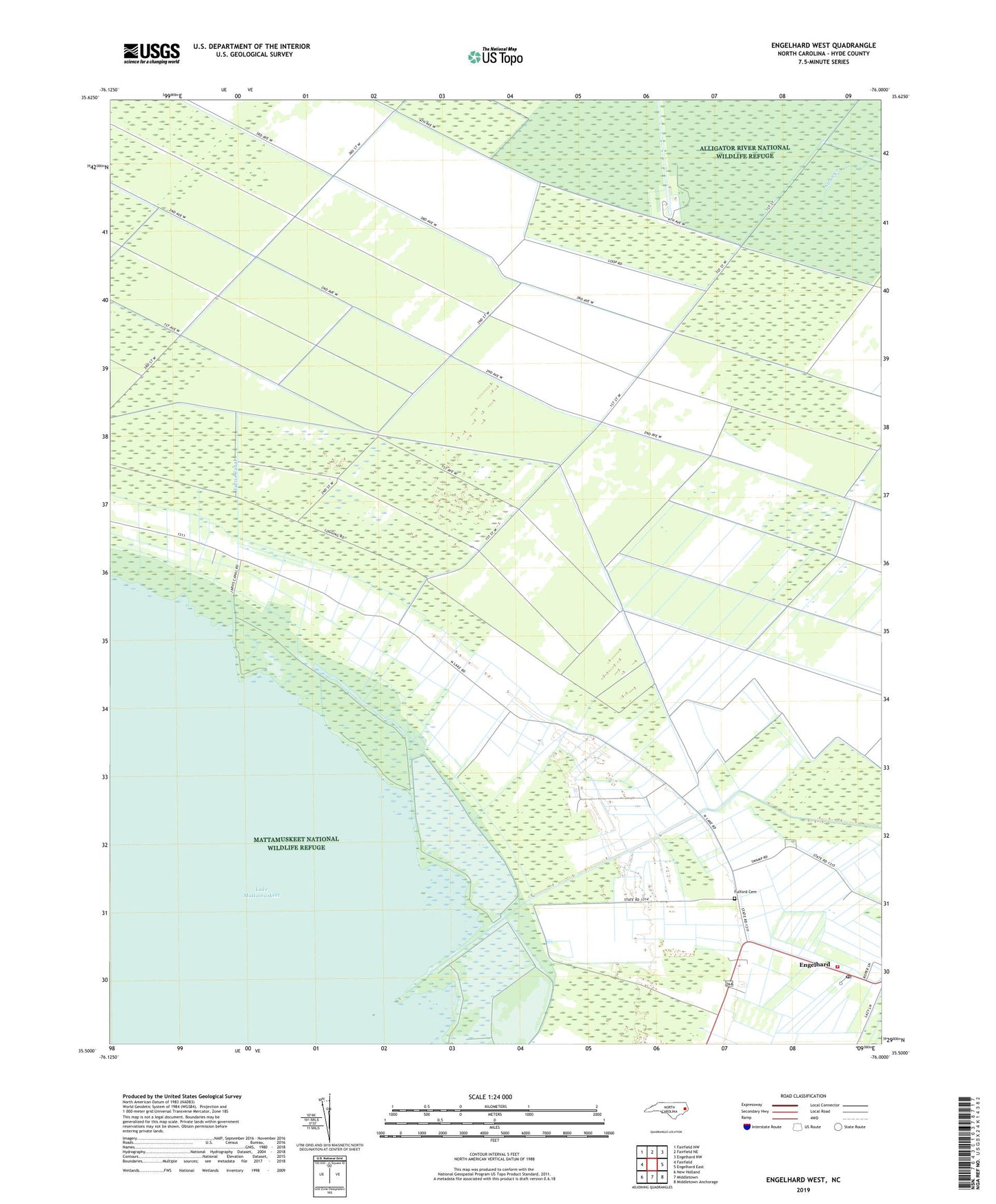
2022 topographic map quadrangle Engelhard West in the state of North Carolina. Scale: 1:24000. Based on the newly updated USGS 7.5' US Topo map series, this map is in the following counties: Hyde. The map contains contour data, water features, and other items you are used to seeing on USGS maps, but also has updated roads and other features. This is the next generation of topographic maps. Printed on high-quality waterproof paper with UV fade-resistant inks.
Quads adjacent to this one:
West: Fairfield
Northwest: Fairfield NW
North: Fairfield NE
Northeast: Engelhard NW
East: Engelhard East
Southeast: Middletown Anchorage
South: Middletown
Southwest: New Holland
This map covers the same area as the classic USGS quad with code o35076e1.
Contains the following named places: Davis Elementary, Engelhard Census Designated Place, Engelhard Post Office, Engelhard Volunteer Fire Department, Fulford Cemetery, Jarvis Canal, Pleasant Grove Church, ZIP Code: 27824