MyTopo
Long Shoal Point North Carolina US Topo Map
Couldn't load pickup availability
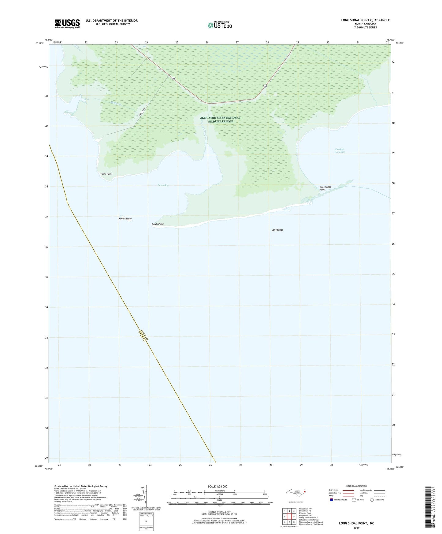
2022 topographic map quadrangle Long Shoal Point in the state of North Carolina. Scale: 1:24000. Based on the newly updated USGS 7.5' US Topo map series, this map is in the following counties: Dare, Hyde. The map contains contour data, water features, and other items you are used to seeing on USGS maps, but also has updated roads and other features. This is the next generation of topographic maps. Printed on high-quality waterproof paper with UV fade-resistant inks.
Quads adjacent to this one:
West: Engelhard East
Northwest: Engelhard NW
North: Engelhard NE
Northeast: Stumpy Point
East: Long Shoal Point OE E
Southwest: Middletown Anchorage
This map covers the same area as the classic USGS quad with code o35075e6.
Contains the following named places: Clark Creek, Long Shoal, Long Shoal Point, Muddy Creek, Pains Bay, Pains Creek, Pains Point, Parched Corn Bay, Rawls Island, Rawls Point