MyTopo
Murchisontown North Carolina US Topo Map
Couldn't load pickup availability
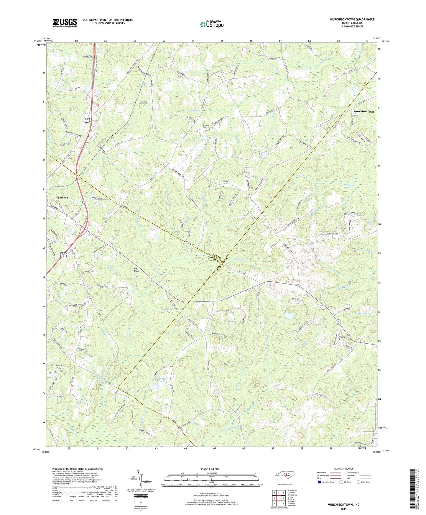
2019 topographic map quadrangle Murchisontown in the state of North Carolina. Scale: 1:24000. Based on the newly updated USGS 7.5' US Topo map series, this map is in the following counties: Harnett, Lee, Moore. The map contains contour data, water features, and other items you are used to seeing on USGS maps, but also has updated roads and other features. This is the next generation of topographic maps. Printed on high-quality waterproof paper with UV fade-resistant inks.
Quads adjacent to this one:
West: Vass
Northwest: White Hill
North: Sanford
Northeast: Broadway
East: Olivia
Southeast: Overhills
South: Lobelia
Southwest: Niagara
Contains the following named places: Beaver Creek, Big Branch, Black Chapel, Blue Brothers Pond, Blue Brothers Pond Dam, Butler Branch, Deep Branch, Duck Pond, Duck Pond Branch, Garners Chapel, Green Grove Church, Head Branch, Horse Branch, Huckleberry Pond, Johnson Cemetery, Long Branch, Lower Run, MacDonald Swamp, Macedonia Church, Mare Branch, McDougald Branch, McIver School, McQueen Chapel, Middle Prong Cypress Creek, Middle Run, Moore Branch, Mount Moriah Church, Mount Nebo Church, Murchison Chapel, Murchisontown, Old Field Branch, Pierce Cemetery, Pilgrim Rest Church, Piney Wood Church, Polly Branch, Reedy Branch, Rocky Fork Church, Rooster Field, Round Top, Roundabout Branch, Run Branch, Slash Branch, Stony Branch, Succor Branch, Township 1-Greenwood, Upper Run, Wildcat Branch, ZIP Code: 28326