MyTopo
Palmyra North Carolina US Topo Map
Couldn't load pickup availability
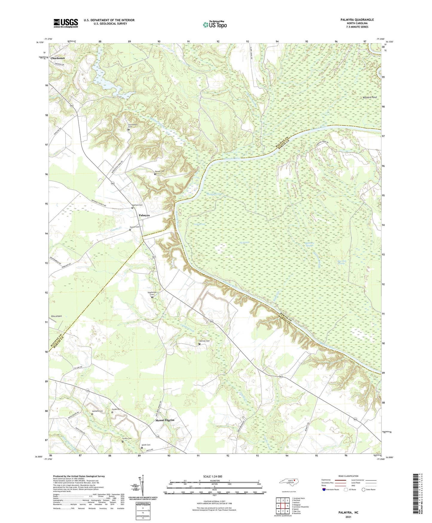
2021 topographic map quadrangle Palmyra in the state of North Carolina. Scale: 1:24000. Based on the newly updated USGS 7.5' US Topo map series, this map is in the following counties: Halifax, Martin, Bertie. The map contains contour data, water features, and other items you are used to seeing on USGS maps, but also has updated roads and other features. This is the next generation of topographic maps. Printed on high-quality waterproof paper with UV fade-resistant inks.
Quads adjacent to this one:
West: Hobgood
Northwest: Scotland Neck
North: Norfleet
Northeast: Kelford
East: Lewiston Woodville
Southeast: Hamilton
South: Oak City
Southwest: Speed
Contains the following named places: Big Swash, Blue Hole Swamp, Buzzard Point, Charleston Cemetery, Clarks Store, Cypress Swamp, Devereaux Landing, Dorsey Cemetery, Fields Cemetery, Griffin Cemetery, Harman Cemetery, Harrington Airport, Hills Ferry, Hyman Cemetery, James Church, Johnandrus Church, Jones Chapel, Kehukee Church, Kehukee Swamp, Kiahs Gut, Matthew Slough, Mizell Cemetery, Mount Pilgrim, Palmyra, Palmyra Cemetery, Palmyra Station, Roanoke Church, Stephenson Cemetery, Thompson Gut, Township of Palmyra, Turkey Pond, White Millpond, Whites Millpond Dam, Williams Cemetery, Williams Chapel