MyTopo
Todd North Carolina US Topo Map
Couldn't load pickup availability
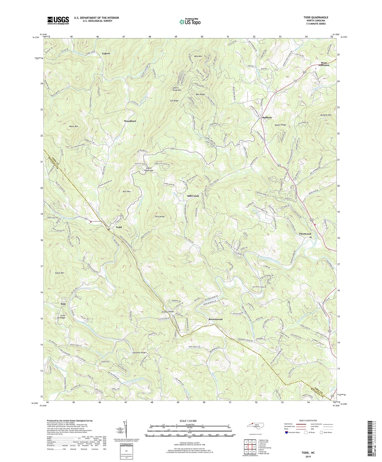
2022 topographic map quadrangle Todd in the state of North Carolina. Scale: 1:24000. Based on the newly updated USGS 7.5' US Topo map series, this map is in the following counties: Ashe, Watauga. The map contains contour data, water features, and other items you are used to seeing on USGS maps, but also has updated roads and other features. This is the next generation of topographic maps. Printed on high-quality waterproof paper with UV fade-resistant inks.
Quads adjacent to this one:
Northwest: Baldwin Gap
North: Warrensville
Northeast: Jefferson
East: Glendale Springs
Southeast: Maple Springs
South: Deep Gap
Southwest: Boone
This map covers the same area as the classic USGS quad with code o36081c5.
Contains the following named places: Bald Mountain, Bald Mountain Church, Baldwin, Baldwin Church, Beaver Creek Church, Bee Ridge, Bethany Church, Bethelview Church, Big Flats Church, Big Hill School, Black Mountain, Blackburn Chapel, Brookside, Brownwood, Call Creek, Couches Creek, Cranberry Church, Cranberry Creek, Elk Creek, Elk Ridge, Elkland School, Fleetwood, Fleetwood Elementary School, Fleetwood Falls Dam, Fleetwood Falls Lake, Fleetwood Post Office, Fleetwood Volunteer Fire and Rescue, Grassy Creek, Grassy Island, Laurel Knob Church, Laurel Knob Gap, Laurel Knob Mountain, Laurence Knob, Liberty Grove Church, Little Elk Creek, Little Elk Ridge, Little Gap Creek, Meadow Creek, Mill Creek, Mill Creek Church, Millers School, Mission Home Church, Moretz, Moretz's Mountain Orchard, Old Fields Creek, Pilot Mountain Church, Pine Orchard Creek, Queen Ridge, Rich Mountain, Saint Matthews Church, Simone Mountain, Solo, South Beaver Creek Church, South Fork Baptist Church, Stone Mountain, Third Knob, Todd, Todd Post Office, Todd Volunteer Fire and Rescue Department, Toliver, Township of Bald Mountain, Township of Elk, Township of Old Fields, Woodford, Zion Church, ZIP Codes: 28626, 28684


