MyTopo
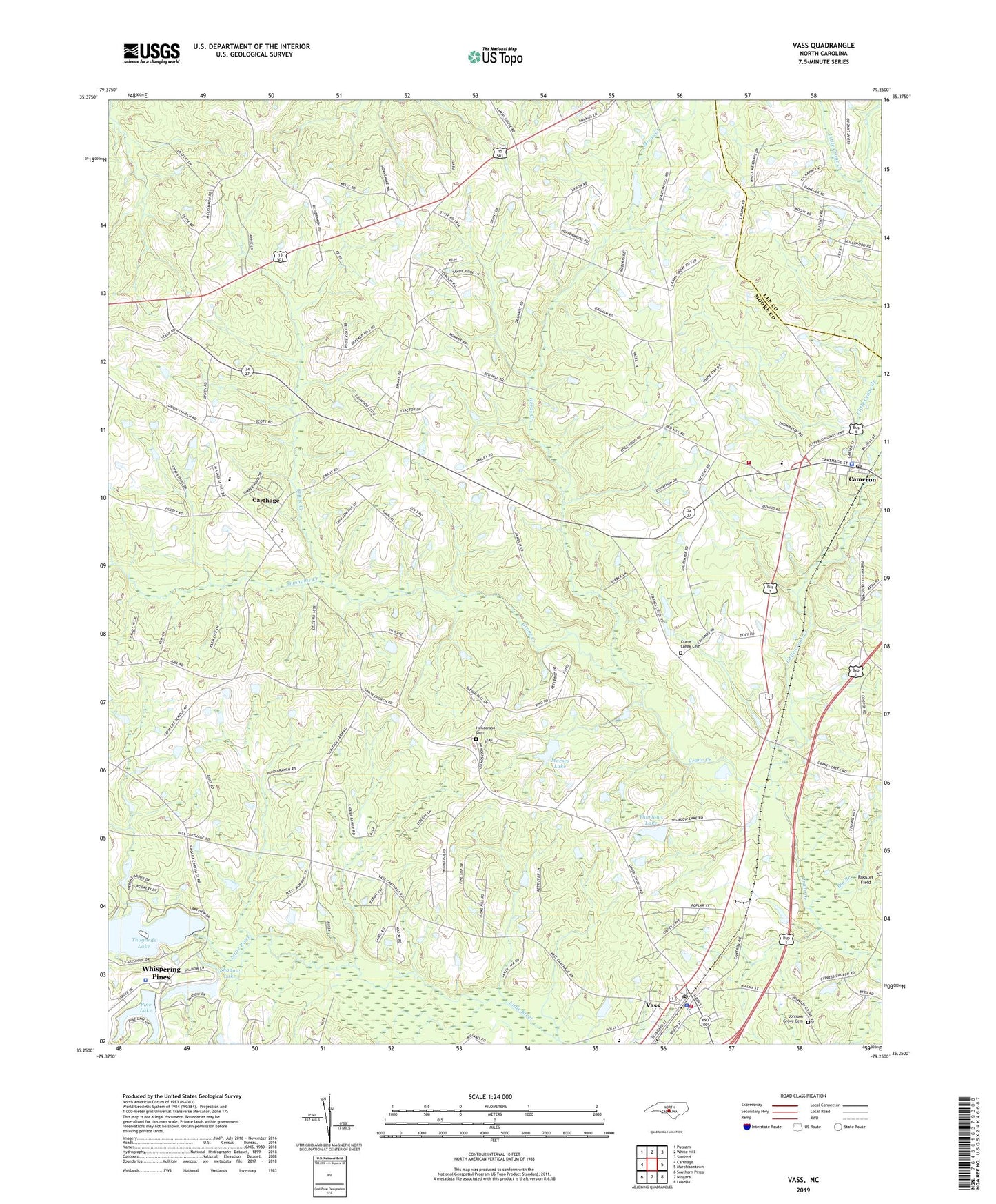
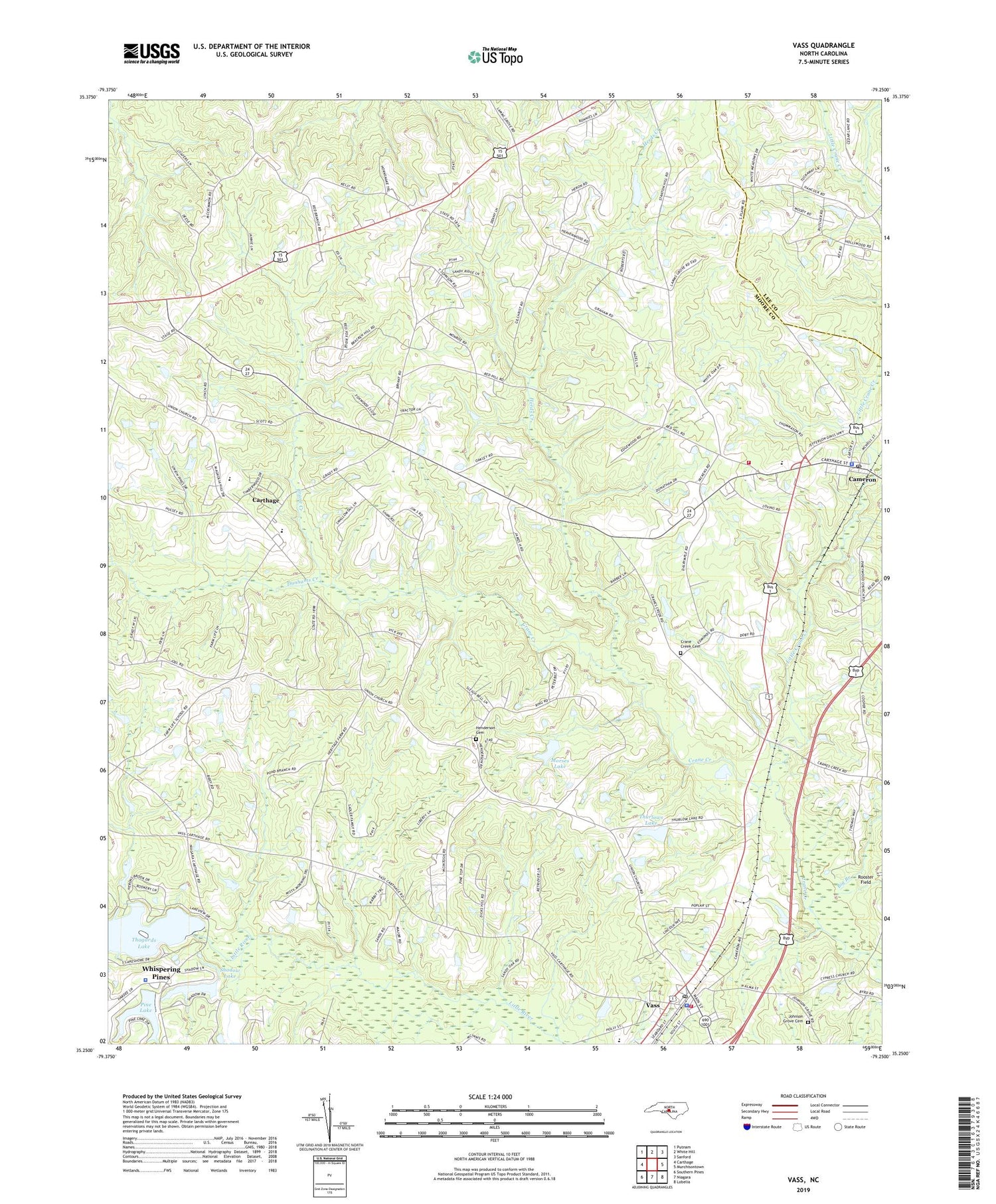
Vass North Carolina US Topo Map
Couldn't load pickup availability
2019 topographic map quadrangle Vass in the state of North Carolina. Scale: 1:24000. Based on the newly updated USGS 7.5' US Topo map series, this map is in the following counties: Moore, Lee. The map contains contour data, water features, and other items you are used to seeing on USGS maps, but also has updated roads and other features. This is the next generation of topographic maps. Printed on high-quality waterproof paper with UV fade-resistant inks.
Quads adjacent to this one:
West: Carthage
Northwest: Putnam
North: White Hill
Northeast: Sanford
East: Murchisontown
Southeast: Lobelia
South: Niagara
Southwest: Southern Pines
Contains the following named places: Big Branch, Cameron, Cameron Elementary School, Cameron Police Department, Cameron Post Office, Cameron Rural Fire Department, Crane Creek Cemetery, Cypress Pointe Fire and Rescue Station 1 - Vass, Dunhams Creek, Halls Church, Henderson Cemetery, Herds Creek, Hood Chapel, Johnson Grove Cemetery, Lamn Grove Church, Little Crane Creek, Moore County Emergency Medical Services Base 2, Moore County Emergency Medical Services Base 8, Morses Lake, Morses Lake Dam, Mount Zion Church, Pine Lake, Pine Lake Dam, Red Hill Church, Shadow Lake, Shadow Lake Dam, Stones Chapel, Thagads Lake Dam, Thagards Lake, Thurlows Lake, Thurlows Lake Dam, Town of Cameron, Town of Vass, Township 6-Greenwood, Troy Lumber Company Dam, Union Church, Union Pines High School, Vass, Vass Police Department, Vass Post Office, Vass Rescue Squad, Vass-Lakeview School, Whispering Pines, Whispering Pines Police Department