MyTopo
Blabon North Dakota US Topo Map
Couldn't load pickup availability
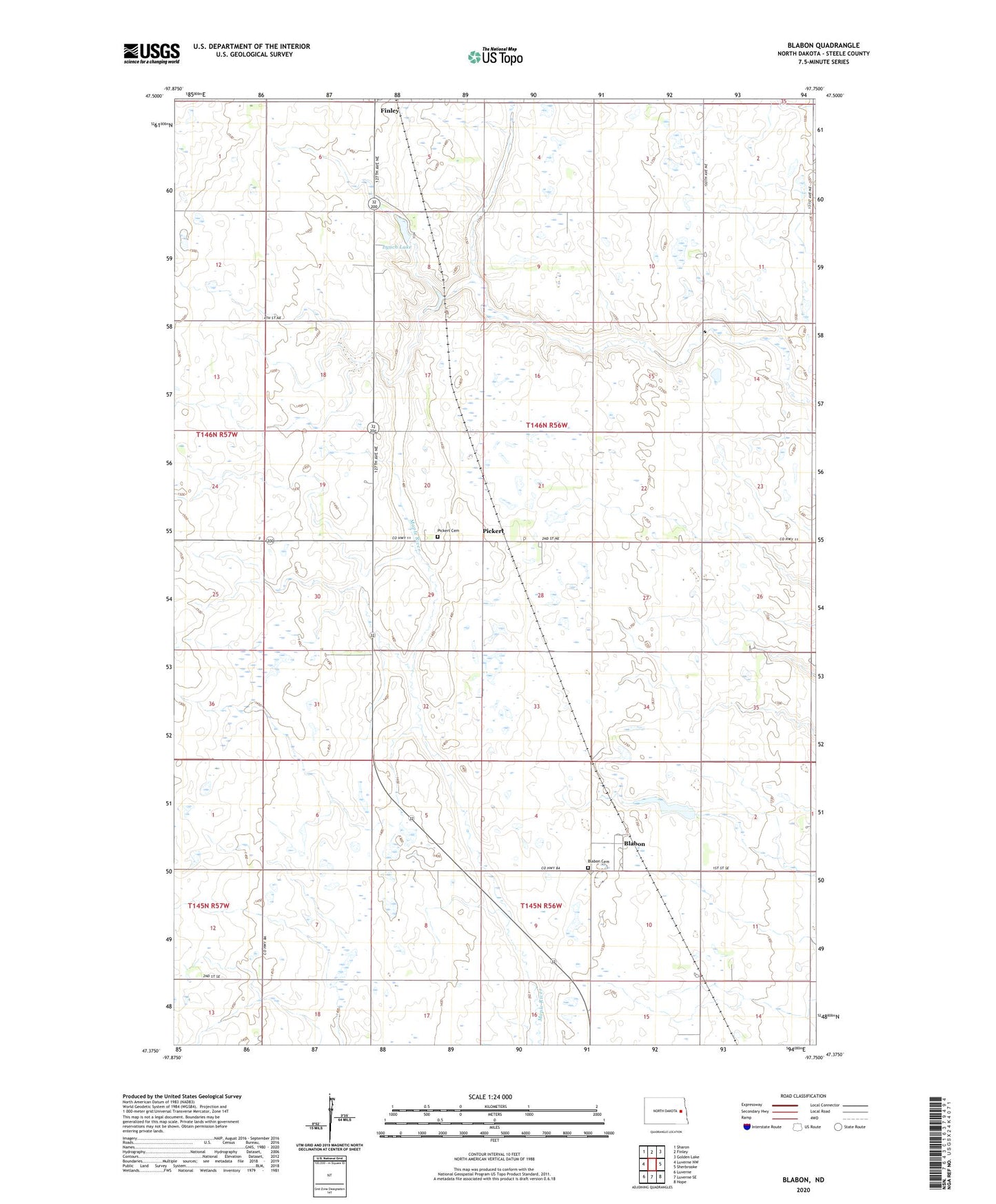
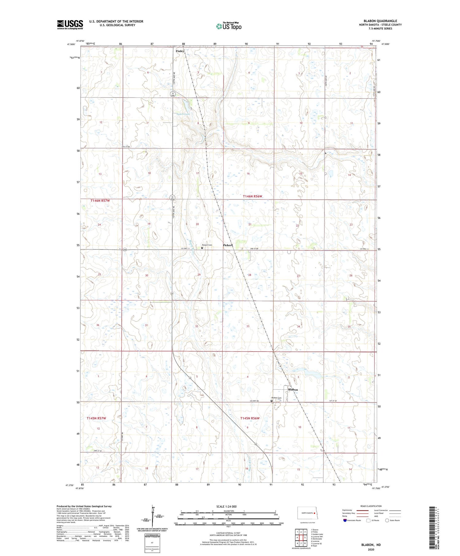
2020 topographic map quadrangle Blabon in the state of North Dakota. Scale: 1:24000. Based on the newly updated USGS 7.5' US Topo map series, this map is in the following counties: Steele. The map contains contour data, water features, and other items you are used to seeing on USGS maps, but also has updated roads and other features. This is the next generation of topographic maps. Printed on high-quality waterproof paper with UV fade-resistant inks.
Quads adjacent to this one:
West: Luverne NW
Northwest: Sharon
North: Finley
Northeast: Golden Lake
East: Sherbrooke
Southeast: Hope
South: Luverne SE
Southwest: Luverne
Contains the following named places: Blabon, Blabon Cemetery, Blabon Dam, Lynch Lake, Pickert, Pickert Cemetery, Saint Petri Church, Township of Easton, ZIP Code: 58230