MyTopo
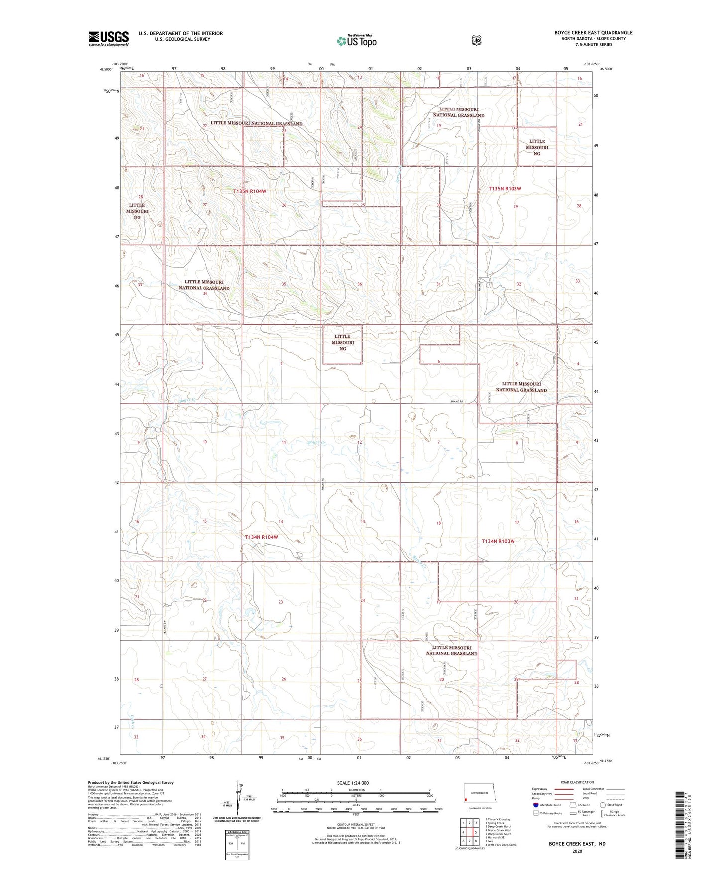
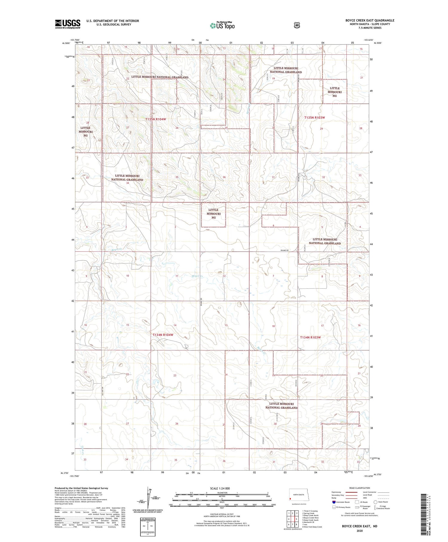
Boyce Creek East North Dakota US Topo Map
Couldn't load pickup availability
2020 topographic map quadrangle Boyce Creek East in the state of North Dakota. Scale: 1:24000. Based on the newly updated USGS 7.5' US Topo map series, this map is in the following counties: Slope. The map contains contour data, water features, and other items you are used to seeing on USGS maps, but also has updated roads and other features. This is the next generation of topographic maps. Printed on high-quality waterproof paper with UV fade-resistant inks.
Quads adjacent to this one:
West: Boyce Creek West
Northwest: Three V Crossing
North: Spring Creek
Northeast: Deep Creek North
East: Deep Creek South
Southeast: West Fork Deep Creek
South: Ives
Southwest: Marmarth SE
Contains the following named places: G and D Heinrich Ranch, G Strom Ranch, Janikowski Ranch, Mound, Mound Church, Township of Mound, Township of Sunshine, V Strom Ranch, Wolfgrum Ranch