MyTopo
Burgess North Dakota US Topo Map
Couldn't load pickup availability
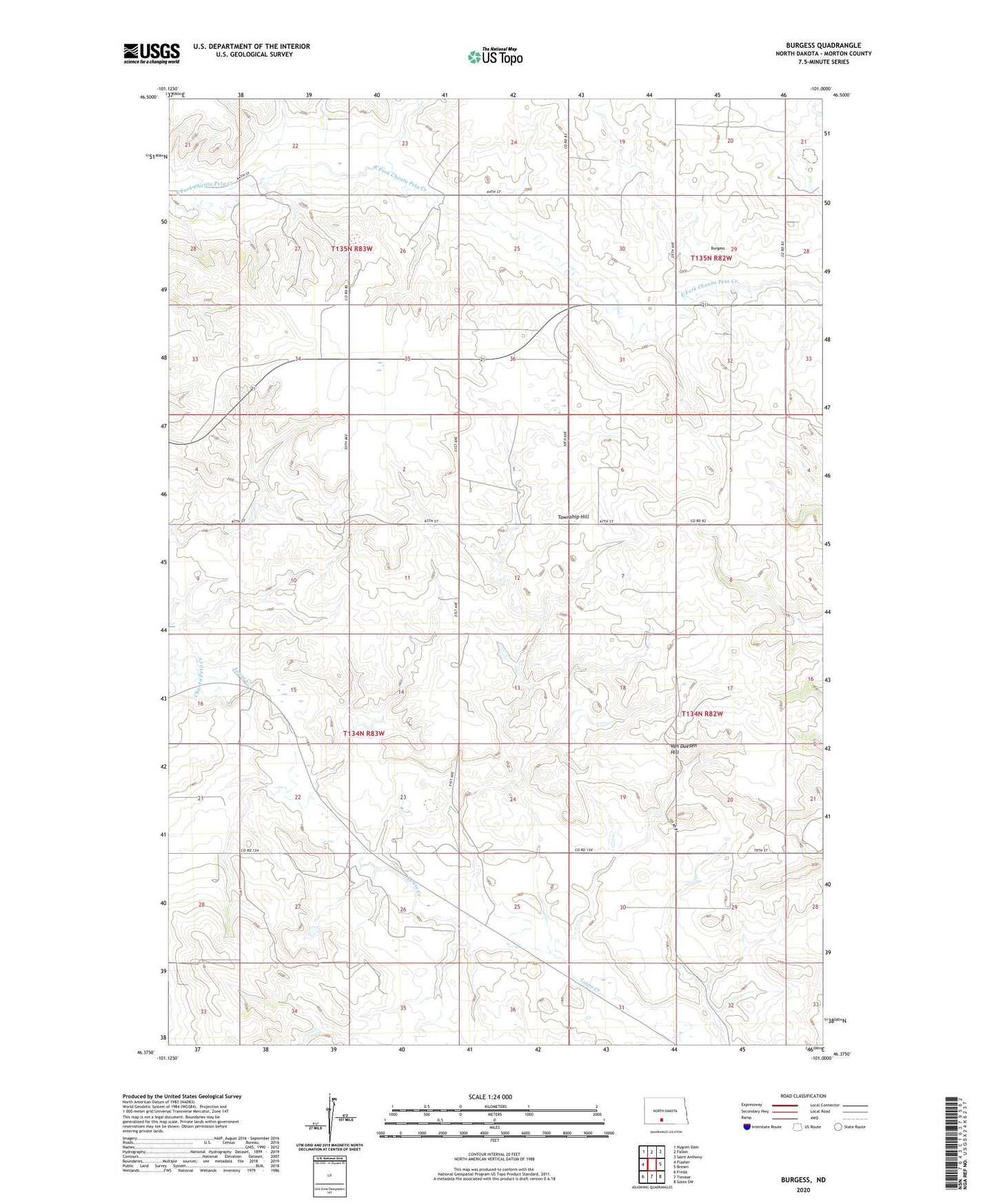
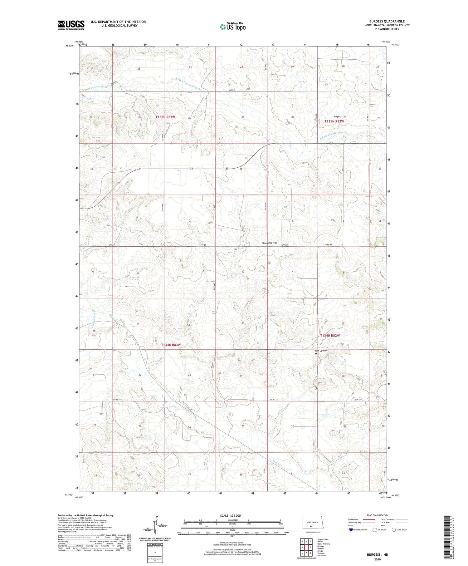
2020 topographic map quadrangle Burgess in the state of North Dakota. Scale: 1:24000. Based on the newly updated USGS 7.5' US Topo map series, this map is in the following counties: Morton. The map contains contour data, water features, and other items you are used to seeing on USGS maps, but also has updated roads and other features. This is the next generation of topographic maps. Printed on high-quality waterproof paper with UV fade-resistant inks.
Quads adjacent to this one:
West: Flasher
Northwest: Nygren Dam
North: Fallon
Northeast: Saint Anthony
East: Breien
Southeast: Solen SW
South: Timmer
Southwest: Freda
Contains the following named places: Burgess, Chanta Peta Creek, Oak Coulee School, Township Hill, Van Duesen Hill