MyTopo
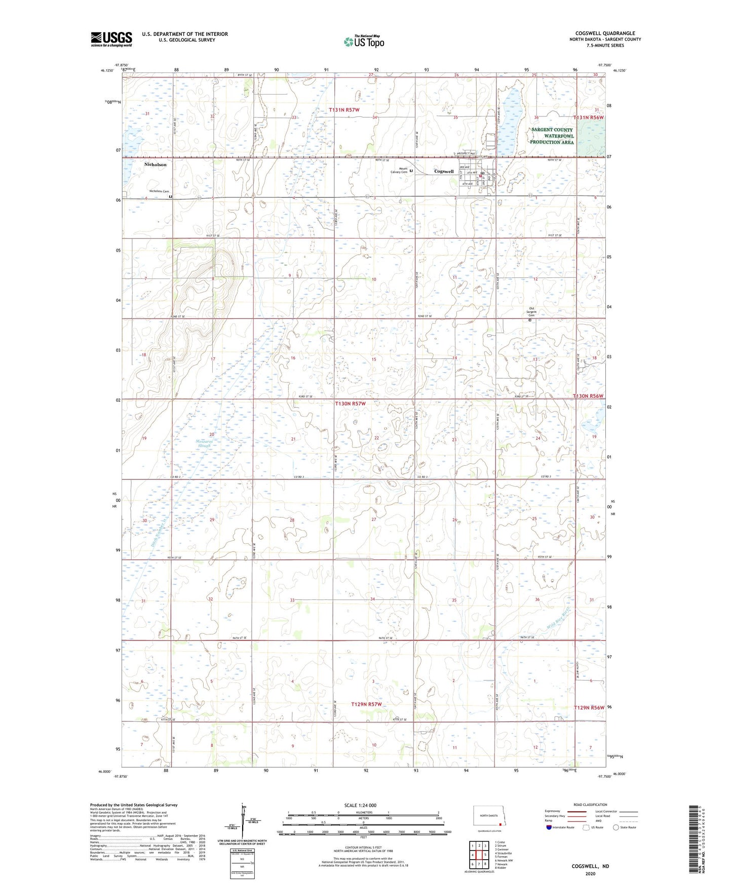
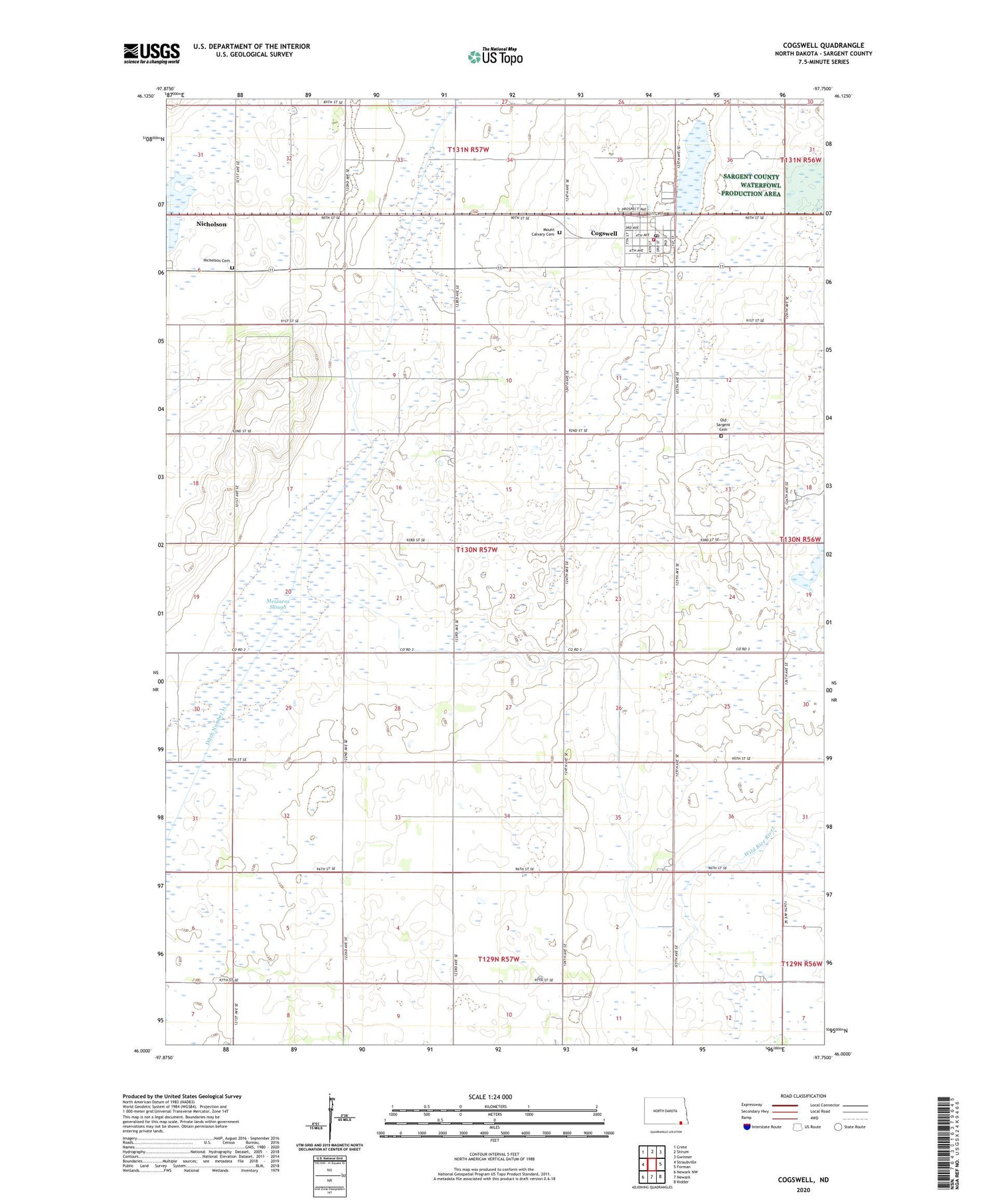
Cogswell North Dakota US Topo Map
Couldn't load pickup availability
2020 topographic map quadrangle Cogswell in the state of North Dakota. Scale: 1:24000. Based on the newly updated USGS 7.5' US Topo map series, this map is in the following counties: Sargent. The map contains contour data, water features, and other items you are used to seeing on USGS maps, but also has updated roads and other features. This is the next generation of topographic maps. Printed on high-quality waterproof paper with UV fade-resistant inks.
Quads adjacent to this one:
West: Straubville
Northwest: Crete
North: Stirum
Northeast: Gwinner
East: Forman
Southwest: Newark NW
Contains the following named places: Blackstone Post Office, City of Cogswell, Cogswell, Cogswell Community Center, Cogswell Fire Protection District, Cogswell Post Office, Ditch Number 11, Meszaros Slough, Mount Calvary Cemetery, Nicholson, Nicholson Cemetery, Old Sargent Cemetery, Township of Sargent, ZIP Code: 58017