
MyTopo
Douglas West North Dakota US Topo Map
Couldn't load pickup availability
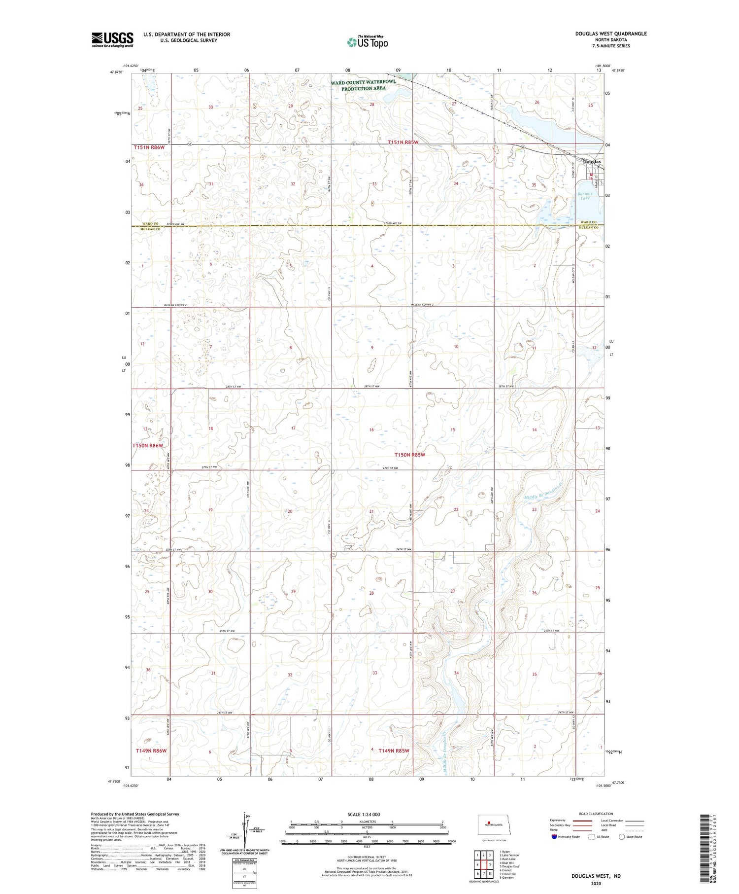
2020 topographic map quadrangle Douglas West in the state of North Dakota. Scale: 1:24000. Based on the newly updated USGS 7.5' US Topo map series, this map is in the following counties: McLean, Ward. The map contains contour data, water features, and other items you are used to seeing on USGS maps, but also has updated roads and other features. This is the next generation of topographic maps. Printed on high-quality waterproof paper with UV fade-resistant inks.
Quads adjacent to this one:
West: Blue Hill
Northwest: Ryder
North: Lake Vernon
Northeast: Rush Lake
East: Douglas East
Southeast: Garrison
South: Emmet NE
Southwest: Emmet
Contains the following named places: City of Douglas, Douglas, Douglas Post Office, Douglas Volunteer Fire Department, School Number 3, School Number 4, Township of Douglas


