MyTopo
Emmet North Dakota US Topo Map
Couldn't load pickup availability
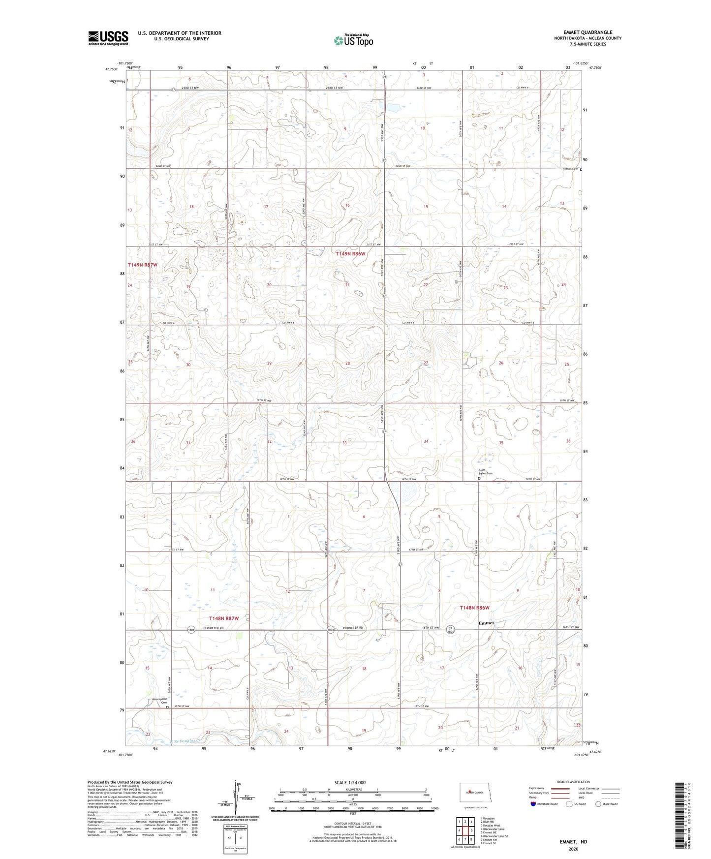
2024 topographic map quadrangle Emmet in the state of North Dakota. Scale: 1:24000. Based on the newly updated USGS 7.5' US Topo map series, this map is in the following counties: McLean. The map contains contour data, water features, and other items you are used to seeing on USGS maps, but also has updated roads and other features. This is the next generation of topographic maps. Printed on high-quality waterproof paper with UV fade-resistant inks.
Quads adjacent to this one:
West: Blackwater Lake
Northwest: Roseglen
North: Blue Hill
Northeast: Douglas West
East: Emmet NE
Southeast: Emmet SE
South: Emmet SW
Southwest: Blackwater Lake SE
This map covers the same area as the classic USGS quad with code o47101f6.
Contains the following named places: Assumption Cemetery, Clifton Cemetery, Emmet, Hackett School Number 4, Mount Zion Church, O'Shea School Number 3, Romaas School Number 1, Romaas School Number 2, Romaas School Number 3, Saint Peter Cemetery, Saint Peters Church, Unorganized Territory of West McLean, ZIP Code: 58540