MyTopo
Fordville SE North Dakota US Topo Map
Couldn't load pickup availability
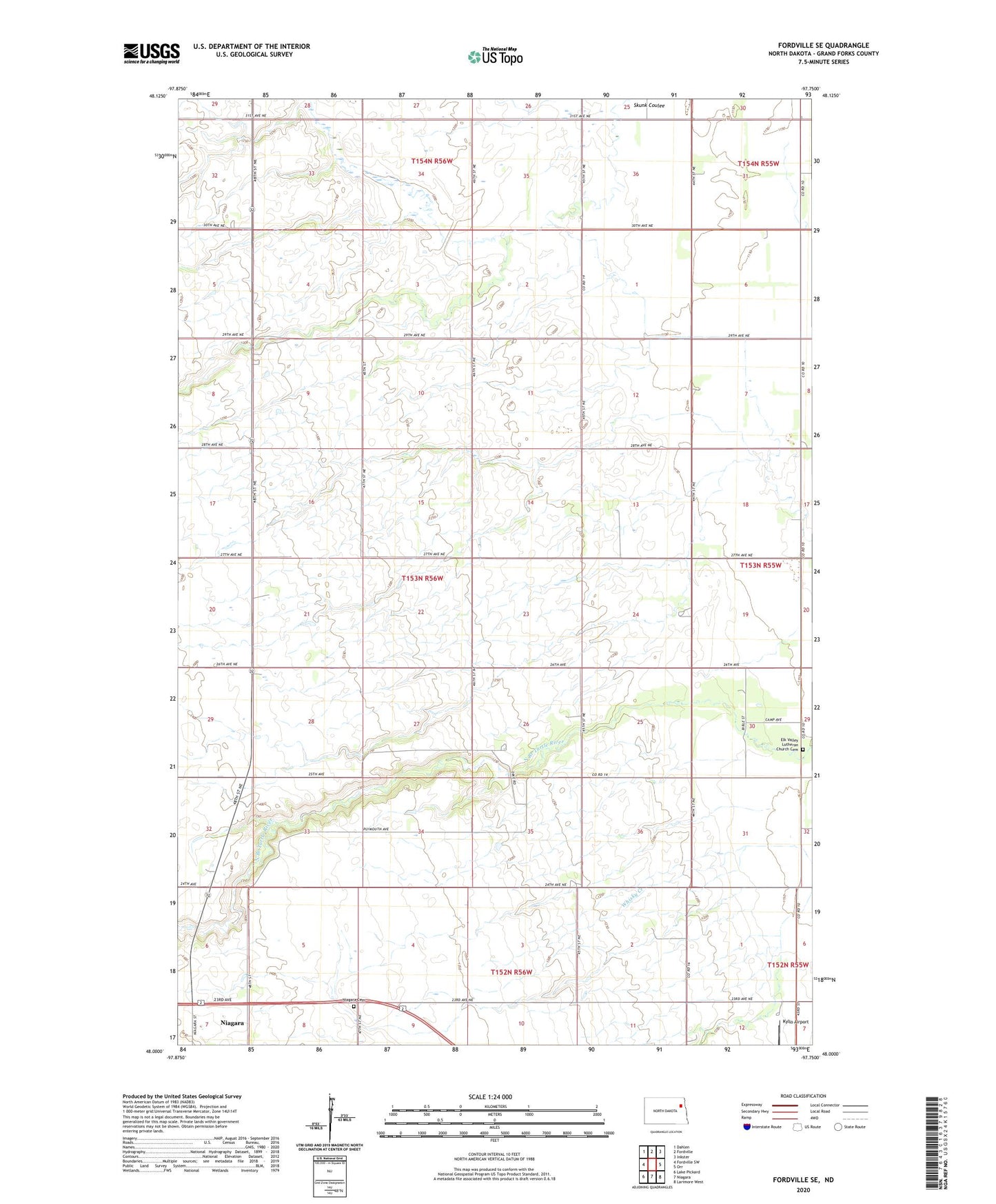
2024 topographic map quadrangle Fordville SE in the state of North Dakota. Scale: 1:24000. Based on the newly updated USGS 7.5' US Topo map series, this map is in the following counties: Grand Forks. The map contains contour data, water features, and other items you are used to seeing on USGS maps, but also has updated roads and other features. This is the next generation of topographic maps. Printed on high-quality waterproof paper with UV fade-resistant inks.
Quads adjacent to this one:
West: Fordville SW
Northwest: Dahlen
North: Fordville
Northeast: Inkster
East: Orr
Southeast: Larimore West
South: Niagara
Southwest: Lake Pickard
This map covers the same area as the classic USGS quad with code o48097a7.
Contains the following named places: Agnes Town Hall, Elk Valley Lutheran Church Cemetery, Janice Field, Kyllo Airport, Niagara Cemetery, Pilot, School Number 122, Township of Plymouth, Upper Turtle River Number 2 Dam, ZIP Code: 58266