MyTopo
Gackle South North Dakota US Topo Map
Couldn't load pickup availability
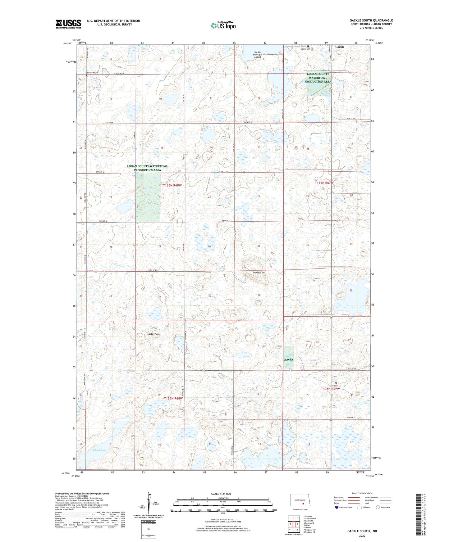
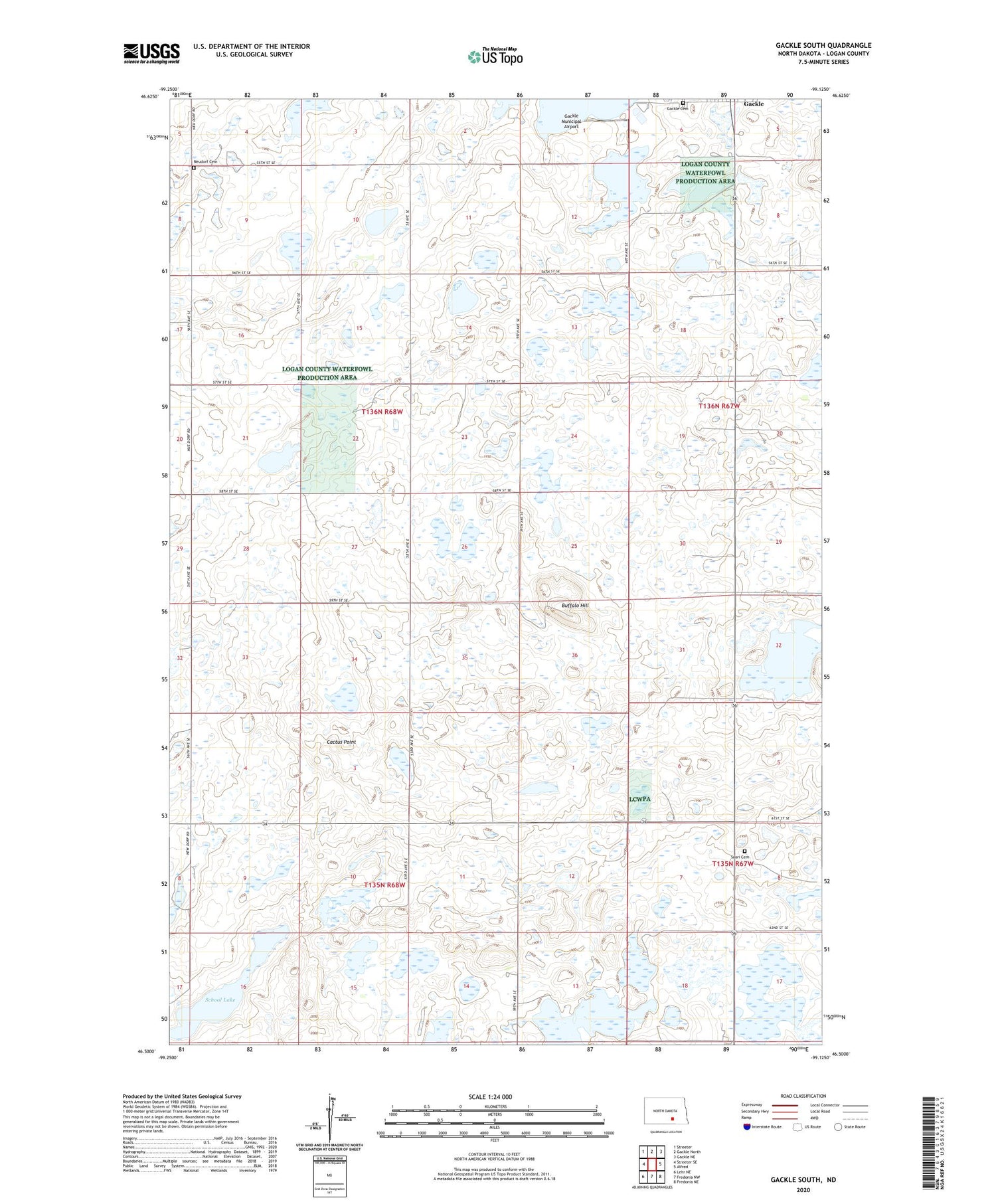
2020 topographic map quadrangle Gackle South in the state of North Dakota. Scale: 1:24000. Based on the newly updated USGS 7.5' US Topo map series, this map is in the following counties: Logan. The map contains contour data, water features, and other items you are used to seeing on USGS maps, but also has updated roads and other features. This is the next generation of topographic maps. Printed on high-quality waterproof paper with UV fade-resistant inks.
Quads adjacent to this one:
West: Streeter SE
Northwest: Streeter
North: Gackle North
Northeast: Gackle NE
East: Alfred
Southeast: Fredonia NE
South: Fredonia NW
Southwest: Lehr NE
Contains the following named places: Buffalo Hill, Cactus Point, Finnish Old Apostolic Church, Gackle Cemetery, Gackle Country Club, Gackle Municipal Airport, Neudorf Cemetery, Saari Cemetery, School Lake, ZIP Code: 58442