MyTopo
Streeter North Dakota US Topo Map
Couldn't load pickup availability
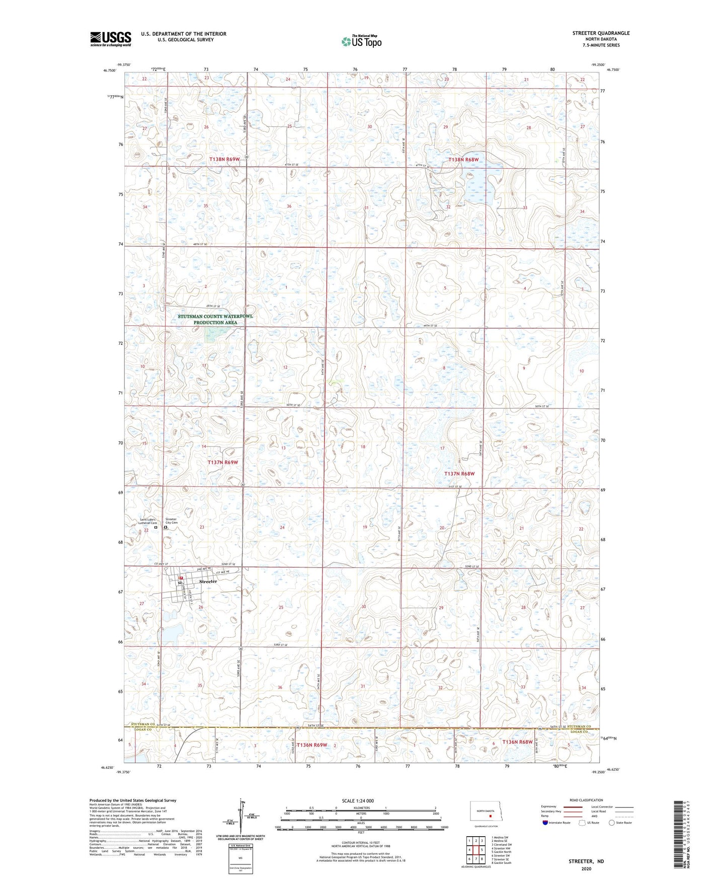
2024 topographic map quadrangle Streeter in the state of North Dakota. Scale: 1:24000. Based on the newly updated USGS 7.5' US Topo map series, this map is in the following counties: Stutsman, Logan. The map contains contour data, water features, and other items you are used to seeing on USGS maps, but also has updated roads and other features. This is the next generation of topographic maps. Printed on high-quality waterproof paper with UV fade-resistant inks.
Quads adjacent to this one:
West: Streeter NW
Northwest: Medina SW
North: Medina SE
Northeast: Cleveland SW
East: Gackle North
Southeast: Gackle South
South: Streeter SE
Southwest: Streeter SW
This map covers the same area as the classic USGS quad with code o46099f3.
Contains the following named places: City of Streeter, Saint Luke's Lutheran Cemetery, Stokes Memorial Park, Streeter, Streeter City Cemetery, Streeter City Hall, Streeter Fire Department, Streeter Lake, Streeter Post Office, Township of Germania