
MyTopo
Glasston NE North Dakota US Topo Map
Couldn't load pickup availability
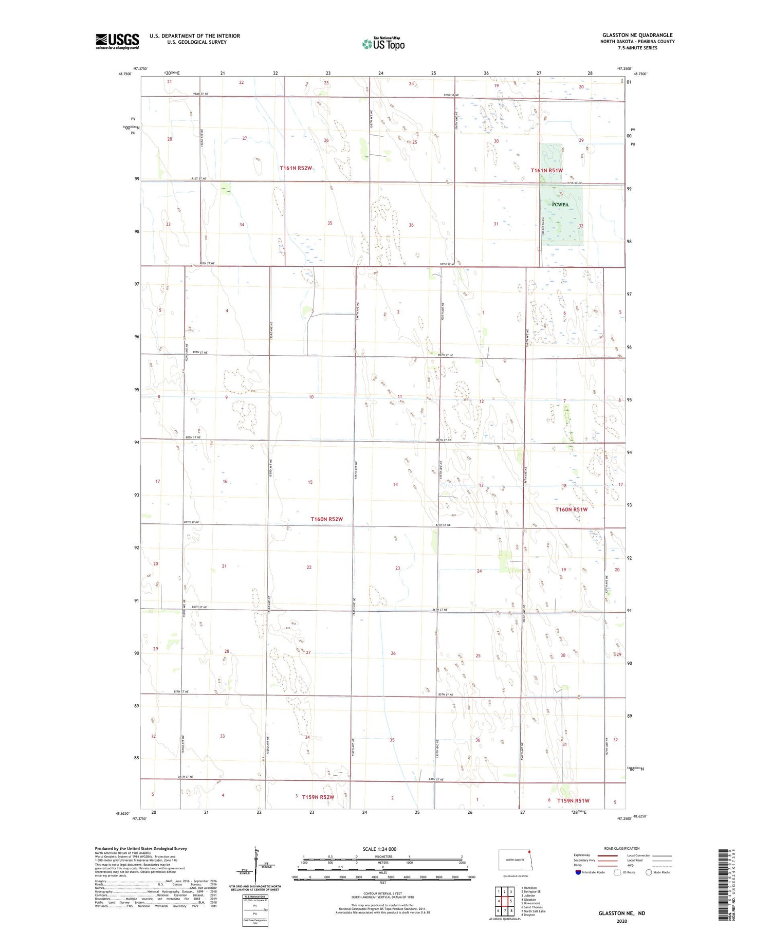
2020 topographic map quadrangle Glasston NE in the state of North Dakota. Scale: 1:24000. Based on the newly updated USGS 7.5' US Topo map series, this map is in the following counties: Pembina. The map contains contour data, water features, and other items you are used to seeing on USGS maps, but also has updated roads and other features. This is the next generation of topographic maps. Printed on high-quality waterproof paper with UV fade-resistant inks.
Quads adjacent to this one:
West: Glasston
Northwest: Hamilton
North: Bathgate SE
Northeast: Joliette
East: Bowesmont
Southeast: Drayton
South: North Salt Lake
Southwest: Saint Thomas
Contains the following named places: County Ditch Numbers 20 and 66, Elliott Farms Airport, McDonald National Wildlife Management Area, Midland Town Hall, Nowesta Memorial Grove, Township of Midland


