MyTopo
Hamar North Dakota US Topo Map
Couldn't load pickup availability
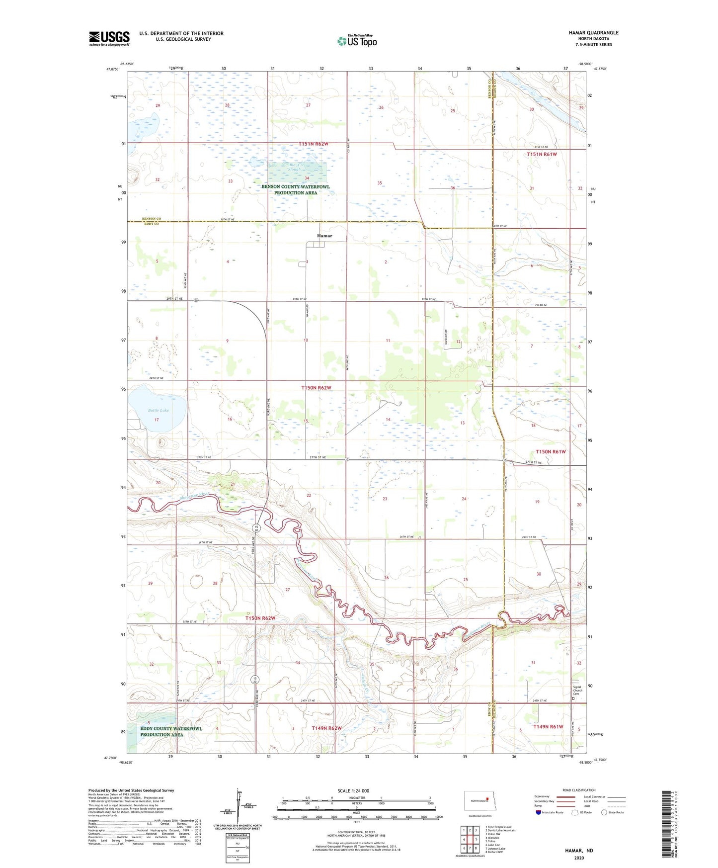
2024 topographic map quadrangle Hamar in the state of North Dakota. Scale: 1:24000. Based on the newly updated USGS 7.5' US Topo map series, this map is in the following counties: Eddy, Nelson, Benson. The map contains contour data, water features, and other items you are used to seeing on USGS maps, but also has updated roads and other features. This is the next generation of topographic maps. Printed on high-quality waterproof paper with UV fade-resistant inks.
Quads adjacent to this one:
West: Warwick
Northwest: Free Peoples Lake
North: Devils Lake Mountain
Northeast: Pekin NW
East: Tolna
Southeast: Binford NW
South: Johnson Lake
Southwest: Lake Coe
This map covers the same area as the classic USGS quad with code o47098g5.
Contains the following named places: Bakstad Lake, Battle Lake, Black Slough, Colvin Creek, Hamar, Hass Dam, Poplar Grove, Sigdal Church, Sigdal Church Cemetery, Township of Freeborn, ZIP Code: 58380