MyTopo
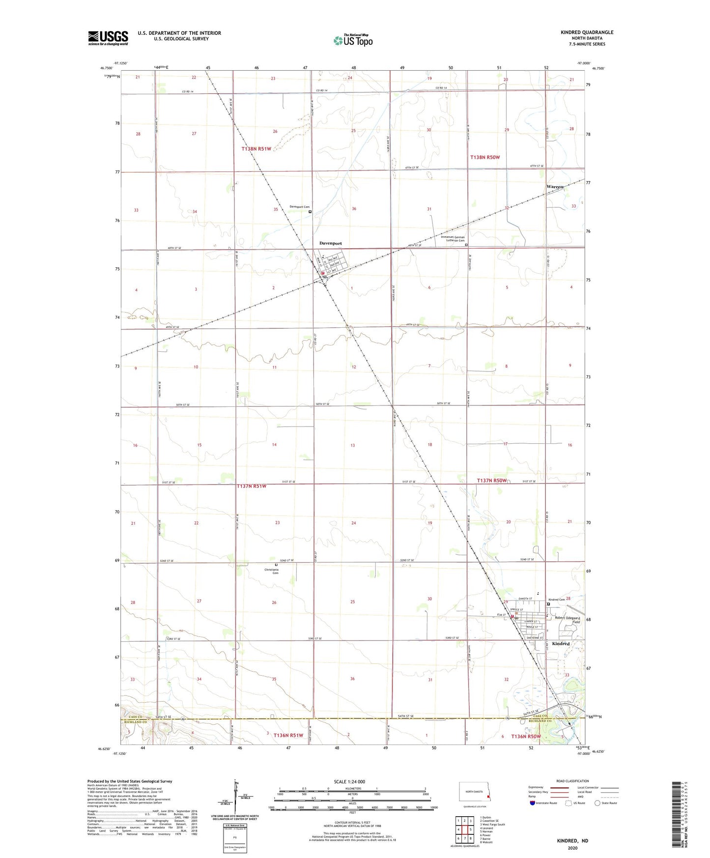
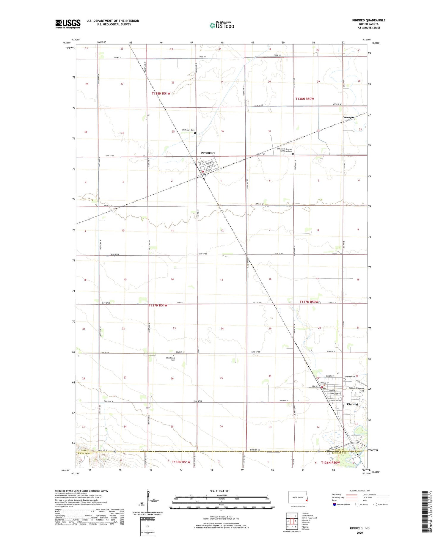
Kindred North Dakota US Topo Map
Couldn't load pickup availability
2020 topographic map quadrangle Kindred in the state of North Dakota. Scale: 1:24000. Based on the newly updated USGS 7.5' US Topo map series, this map is in the following counties: Cass, Richland. The map contains contour data, water features, and other items you are used to seeing on USGS maps, but also has updated roads and other features. This is the next generation of topographic maps. Printed on high-quality waterproof paper with UV fade-resistant inks.
Quads adjacent to this one:
West: Leonard
Northwest: Durbin
North: Casselton SE
Northeast: West Fargo South
East: Norman
Southeast: Walcott
South: Barrie
Southwest: Power
Contains the following named places: Christiania Cemetery, Christiania Church, City of Davenport, City of Kindred, Davenport, Davenport Cemetery, Davenport Fire Station, Davenport Post Office, Immanuel German Lutheran Cemetery, Kindred, Kindred Area Ambulance Service, Kindred Cemetery, Kindred City Hall, Kindred Community and Rural Fire Protection District, Kindred Elementary School, Kindred High School, Kindred Post Office, Kindred Public Library, Robert Odegaard Field, Schroeder Airport, Township of Davenport, Warren, Warren Town Hall, ZIP Codes: 58021, 58051