MyTopo
Leith North Dakota US Topo Map
Couldn't load pickup availability
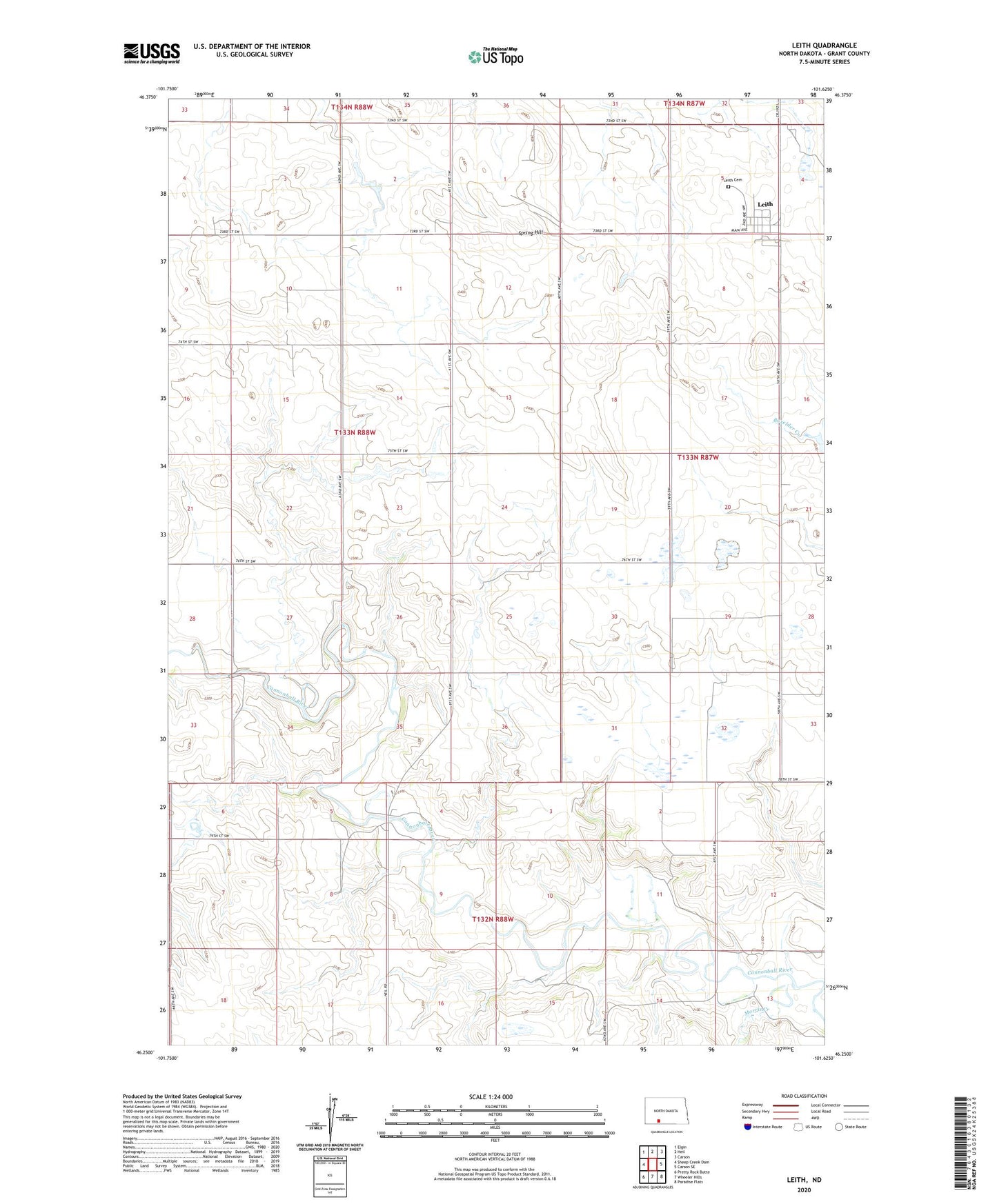
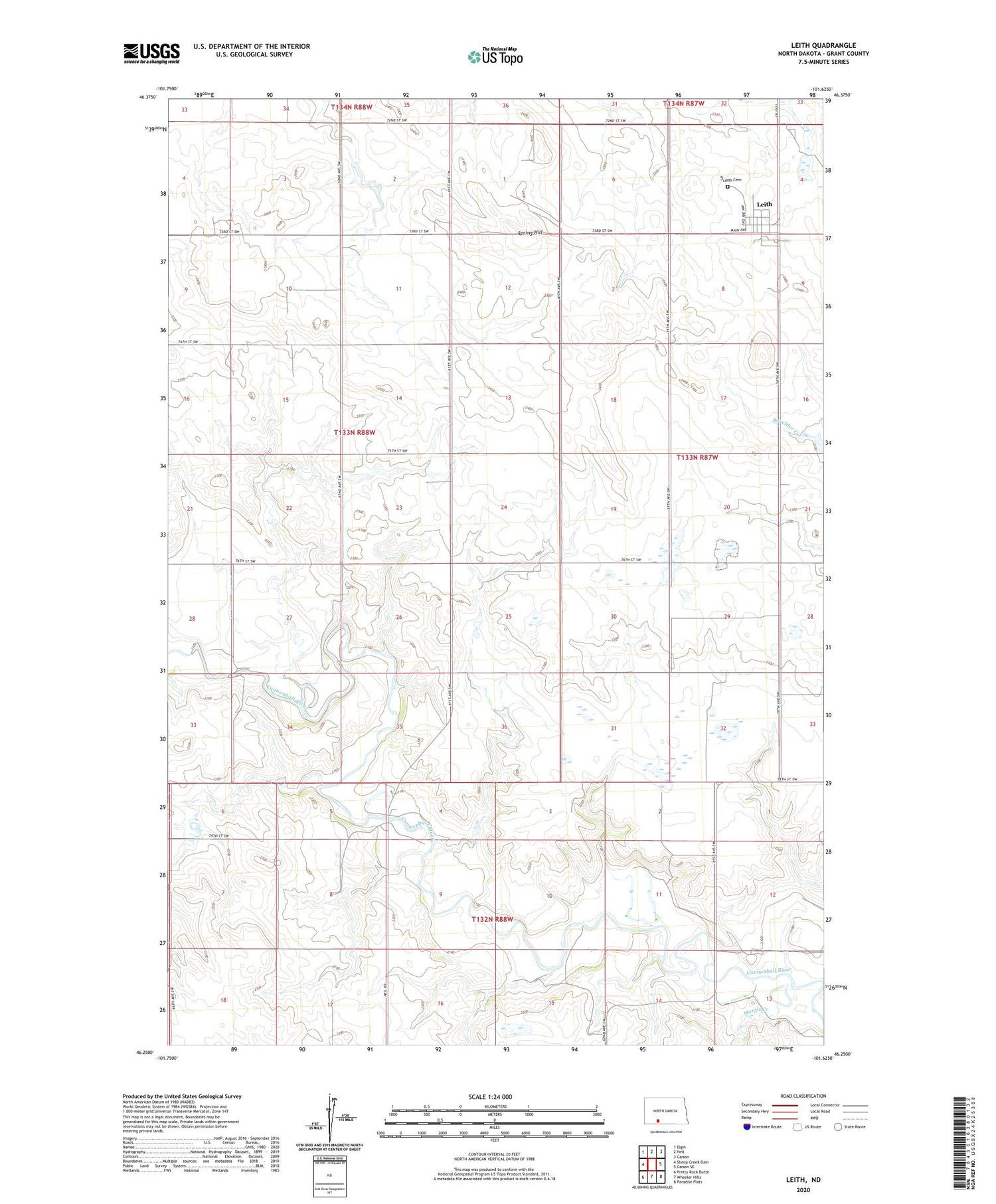
2020 topographic map quadrangle Leith in the state of North Dakota. Scale: 1:24000. Based on the newly updated USGS 7.5' US Topo map series, this map is in the following counties: Grant. The map contains contour data, water features, and other items you are used to seeing on USGS maps, but also has updated roads and other features. This is the next generation of topographic maps. Printed on high-quality waterproof paper with UV fade-resistant inks.
Quads adjacent to this one:
West: Sheep Creek Dam
Northwest: Elgin
North: Heil
Northeast: Carson
East: Carson SE
Southeast: Paradise Flats
South: Wheeler Hills
Southwest: Pretty Rock Butte
Contains the following named places: Binek Mine, City of Leith, Grant County, Lah Mine, Leith, Leith Cemetery, Morris Creek, Peterson Mine, Spring Hill, Township of Rock