MyTopo
Lone Butte SE North Dakota US Topo Map
Couldn't load pickup availability
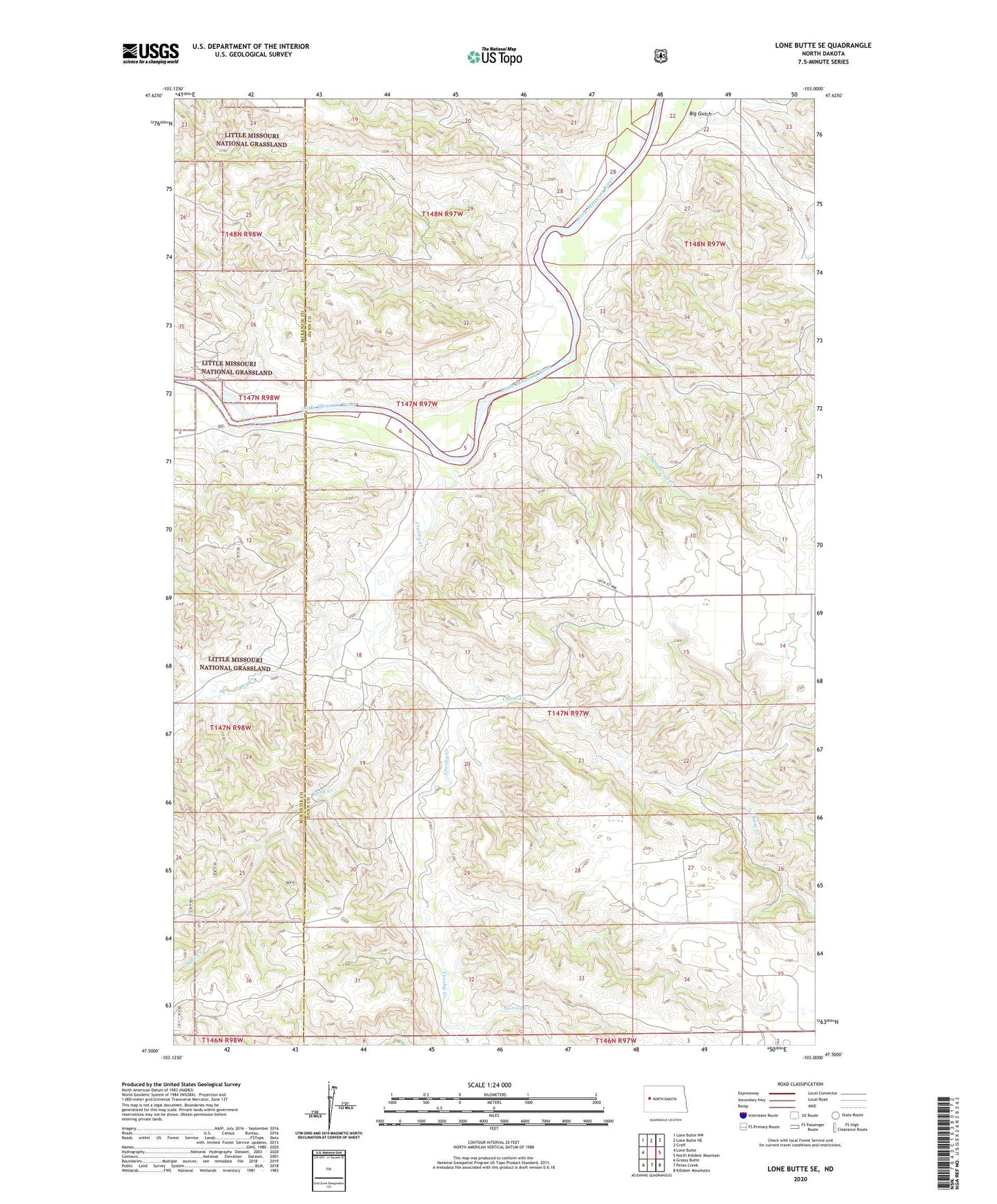
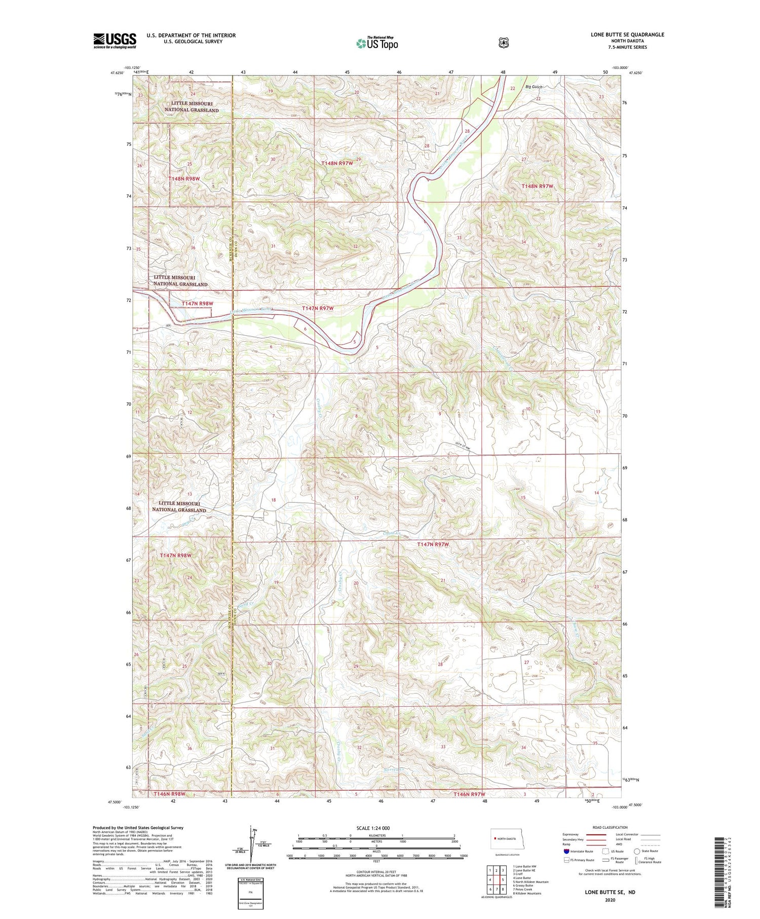
2020 topographic map quadrangle Lone Butte SE in the state of North Dakota. Scale: 1:24000. Based on the newly updated USGS 7.5' US Topo map series, this map is in the following counties: Dunn, McKenzie. The map contains contour data, water features, and other items you are used to seeing on USGS maps, but also has updated roads and other features. This is the next generation of topographic maps. Printed on high-quality waterproof paper with UV fade-resistant inks.
Quads adjacent to this one:
West: Lone Butte
Northwest: Lone Butte NW
North: Lone Butte NE
Northeast: Croff
East: North Killdeer Mountain
Southeast: Killdeer Mountains
South: Petes Creek
Southwest: Grassy Butte
Contains the following named places: Big Gulch, Carus Ranch, Chase Creek, Cottonwood Creek, Crosby Creek, Dry Creek, Erickson Ranch, Lone Butte Oil Field, Monroe Ranch, Norred Creek, Odenthal Ranch, Olson Ranch, Quilliam School, Sand Creek, Tysver Ranch