MyTopo
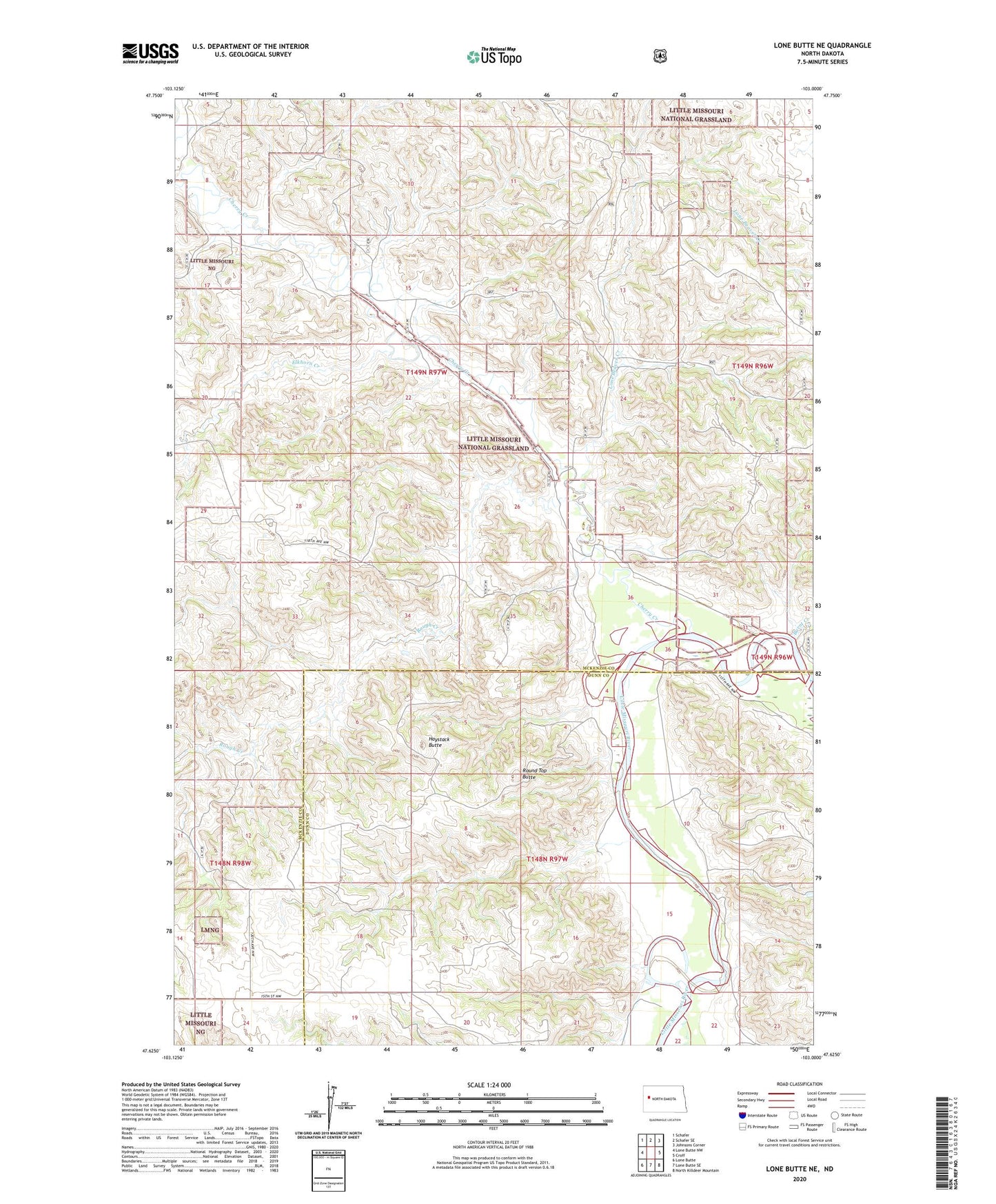
Lone Butte NE North Dakota US Topo Map
Couldn't load pickup availability
Also explore the Lone Butte NE Forest Service Topo of this same quad for updated USFS data
2024 topographic map quadrangle Lone Butte NE in the state of North Dakota. Scale: 1:24000. Based on the newly updated USGS 7.5' US Topo map series, this map is in the following counties: McKenzie, Dunn. The map contains contour data, water features, and other items you are used to seeing on USGS maps, but also has updated roads and other features. This is the next generation of topographic maps. Printed on high-quality waterproof paper with UV fade-resistant inks.
Quads adjacent to this one:
West: Lone Butte NW
Northwest: Schafer
North: Schafer SE
Northeast: Johnsons Corner
East: Croff
Southeast: North Killdeer Mountain
South: Lone Butte SE
Southwest: Lone Butte
This map covers the same area as the classic USGS quad with code o47103f1.
Contains the following named places: Burnt Creek, C Danielson Ranch, Cherry Creek, Elkhorn Creek, Haystack Butte, Johnson Ranch, Lone Beaver Creek, Mandal Ranch, O Thorp Ranch, Olson Ranch, Rough Creek, Round Top Butte