MyTopo
New England North Dakota US Topo Map
Couldn't load pickup availability
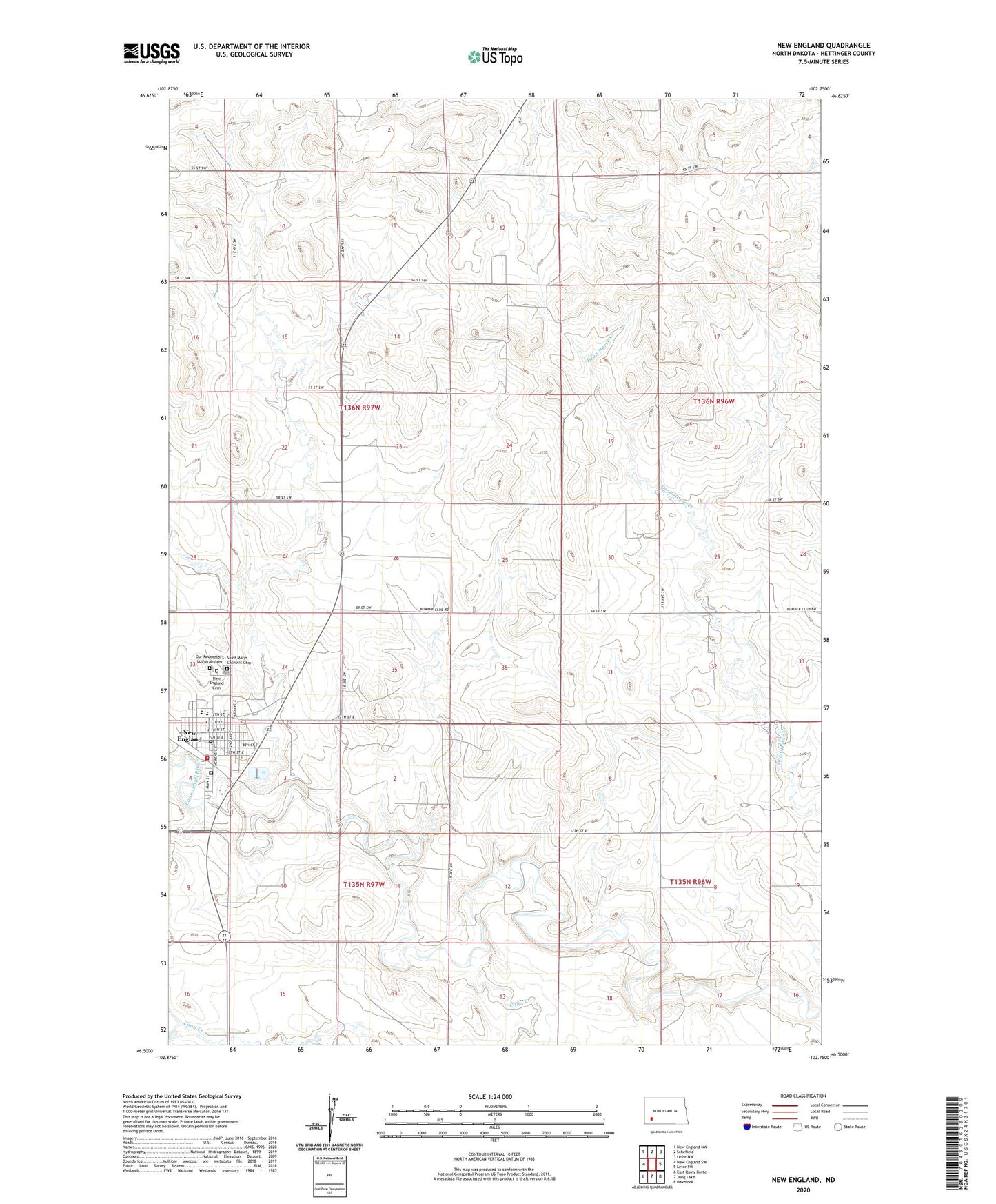
2024 topographic map quadrangle New England in the state of North Dakota. Scale: 1:24000. Based on the newly updated USGS 7.5' US Topo map series, this map is in the following counties: Hettinger. The map contains contour data, water features, and other items you are used to seeing on USGS maps, but also has updated roads and other features. This is the next generation of topographic maps. Printed on high-quality waterproof paper with UV fade-resistant inks.
Quads adjacent to this one:
West: New England SW
Northwest: New England NW
North: Schefield
Northeast: Lefor NW
East: Lefor SW
Southeast: Havelock
South: Jung Lake
Southwest: East Rainy Butte
This map covers the same area as the classic USGS quad with code o46102e7.
Contains the following named places: City of New England, Coon Creek, Dakota Women's Correctional and Rehabilitation Center, New England, New England Cemetery, New England City Hall, New England Police Department, New England Post Office, New England Public Library, New England Public School, New England Rural Fire Department, Our Redeemer's Lutheran Cemetery, Saint Marys Catholic Cemetery, Saint Marys School, Township of Kunze