MyTopo
Pillsbury SE North Dakota US Topo Map
Couldn't load pickup availability
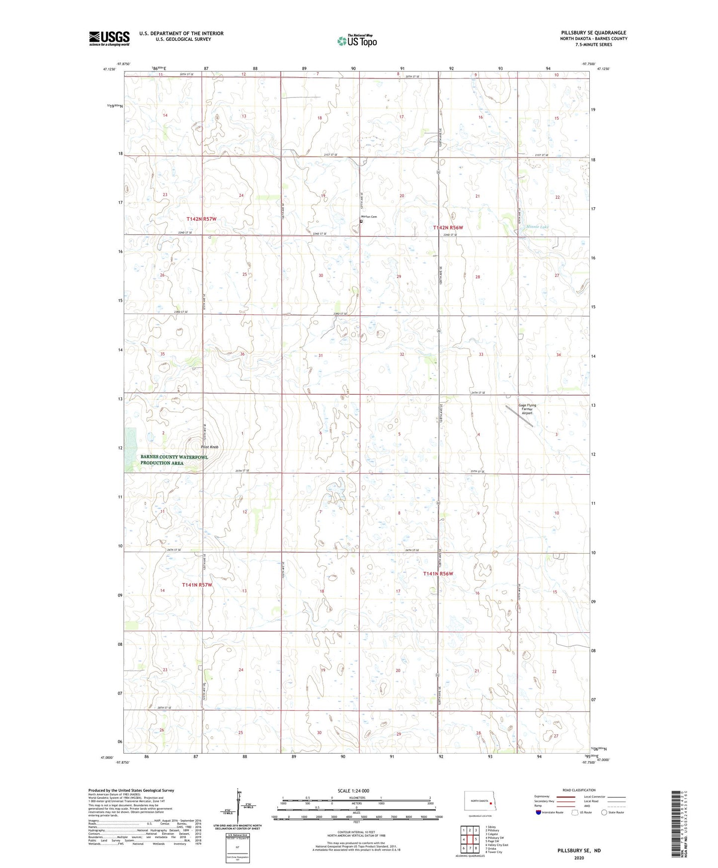
2024 topographic map quadrangle Pillsbury SE in the state of North Dakota. Scale: 1:24000. Based on the newly updated USGS 7.5' US Topo map series, this map is in the following counties: Barnes. The map contains contour data, water features, and other items you are used to seeing on USGS maps, but also has updated roads and other features. This is the next generation of topographic maps. Printed on high-quality waterproof paper with UV fade-resistant inks.
Quads adjacent to this one:
West: Pillsbury SW
Northwest: Sibley
North: Pillsbury
Northeast: Colgate
East: Page SW
Southeast: Tower City
South: Oriska
Southwest: Valley City East
This map covers the same area as the classic USGS quad with code o47097a7.
Contains the following named places: Gage Flying Farmer Airport, Minnie Lake, Minnie Lake Church, Minnie Lake Town Hall, Morton Cemetery, Pilot Knob, Township of Minnie Lake, Township of Weimer