MyTopo
Rolette North Dakota US Topo Map
Couldn't load pickup availability
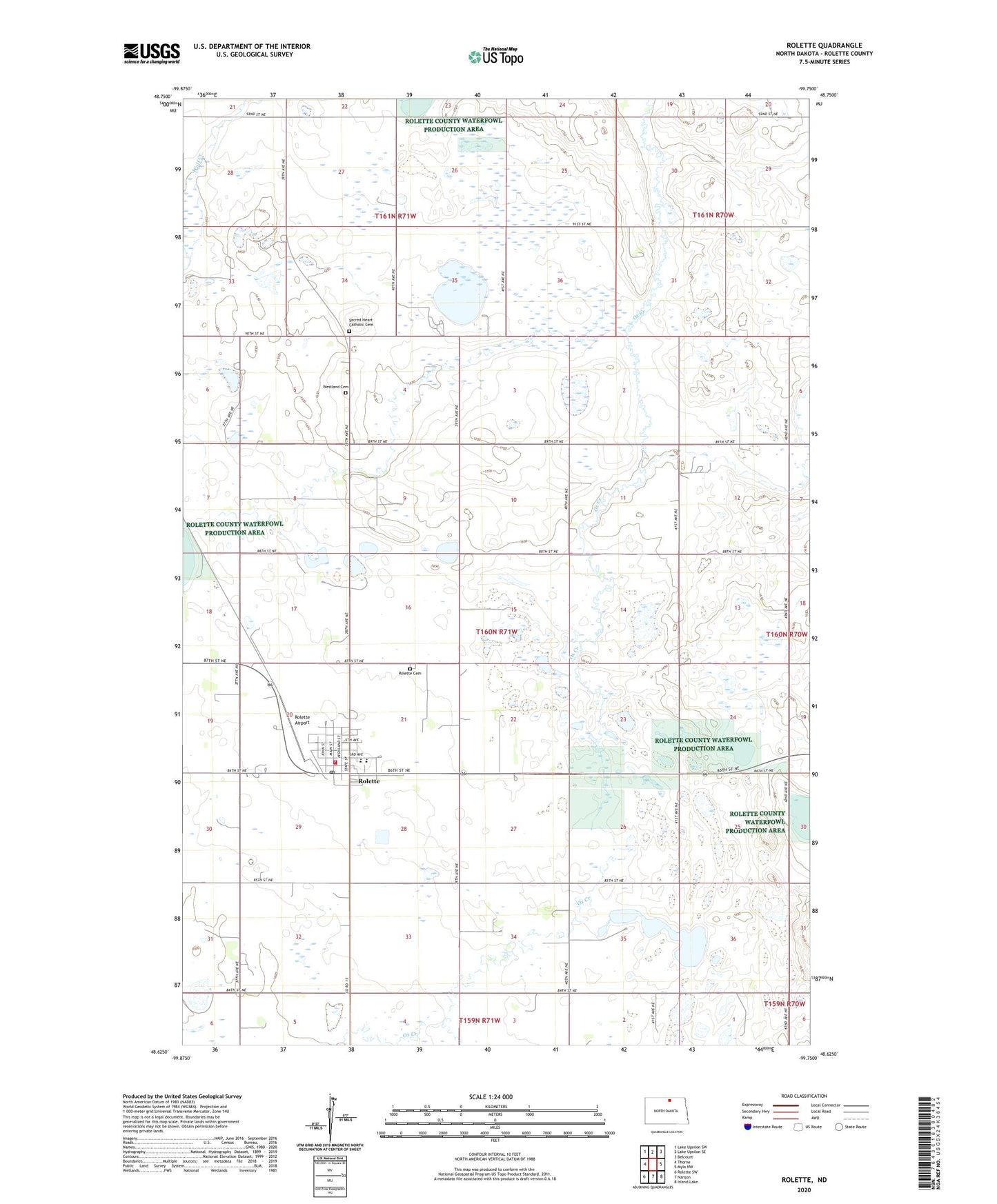
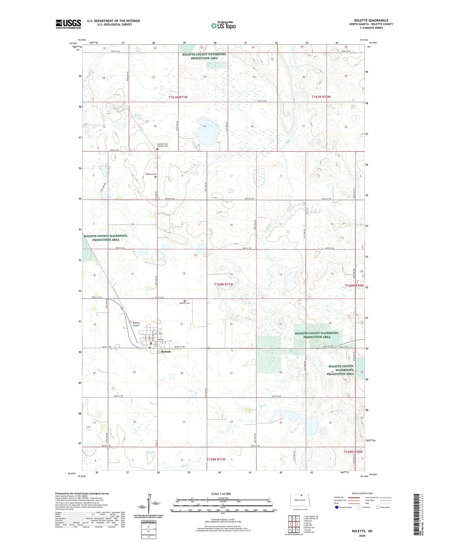
2020 topographic map quadrangle Rolette in the state of North Dakota. Scale: 1:24000. Based on the newly updated USGS 7.5' US Topo map series, this map is in the following counties: Rolette. The map contains contour data, water features, and other items you are used to seeing on USGS maps, but also has updated roads and other features. This is the next generation of topographic maps. Printed on high-quality waterproof paper with UV fade-resistant inks.
Quads adjacent to this one:
West: Thorne
Northwest: Lake Upsilon SW
North: Lake Upsilon SE
Northeast: Belcourt
East: Mylo NW
Southeast: Island Lake
South: Nanson
Southwest: Rolette SW
Contains the following named places: City of Rolette, Little Gurr Lake National Wildlife Refuge, Ox Creek National Wildlife Refuge, Rolette, Rolette Airport, Rolette Ambulance Service, Rolette Cemetery, Rolette City Hall, Rolette Community Care Center, Rolette Fire Station, Rolette Post Office, Rolette Public Library, Rolette Public School, Sacred Heart Catholic Cemetery, Westland Cemetery, ZIP Code: 58366