MyTopo
Round Lake North Dakota US Topo Map
Couldn't load pickup availability
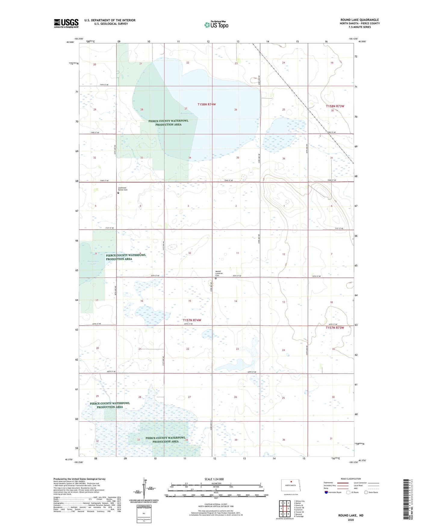
2024 topographic map quadrangle Round Lake in the state of North Dakota. Scale: 1:24000. Based on the newly updated USGS 7.5' US Topo map series, this map is in the following counties: Pierce. The map contains contour data, water features, and other items you are used to seeing on USGS maps, but also has updated roads and other features. This is the next generation of topographic maps. Printed on high-quality waterproof paper with UV fade-resistant inks.
Quads adjacent to this one:
West: Towner NE
Northwest: Willow City
North: Barton
Northeast: Overly SE
East: Leverich
Southeast: Tunbridge
South: Berwick
Southwest: Towner SE
This map covers the same area as the classic USGS quad with code o48100d2.
Contains the following named places: Dewey School Number 1, Dewey School Number 2, Dewey School Number 4, Marker Church, Marker Lutheran Cemetery, Pierce County Waterfowl Production Area, Round Lake, Rush Lake, Southwest Barton Cemetery