MyTopo
Sarles North Dakota US Topo Map
Couldn't load pickup availability
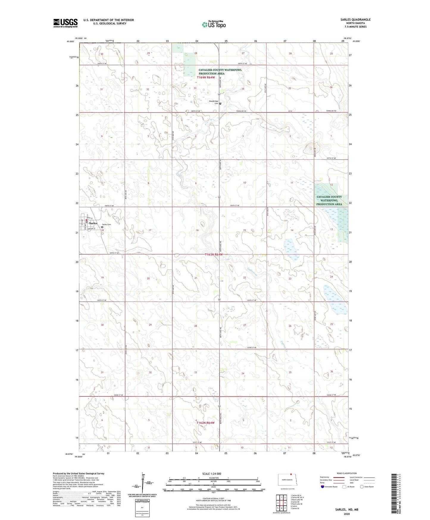
2024 topographic map quadrangle Sarles in the state of North Dakota. Scale: 1:24000. Based on the newly updated USGS 7.5' US Topo map series, this map is in the following counties: Cavalier, Towner. The map contains contour data, water features, and other items you are used to seeing on USGS maps, but also has updated roads and other features. This is the next generation of topographic maps. Printed on high-quality waterproof paper with UV fade-resistant inks.
Quads adjacent to this one:
West: Rock Lake NE
North: Sarles OE N
Northeast: Sarles NE OE N
East: Sarles NE
Southeast: Sarles SE
South: Calvin
Southwest: Rock Lake SE
This map covers the same area as the classic USGS quad with code o48098h8.
Contains the following named places: City of Sarles, Sarles, Sarles Cemetery, Sarles Fire Station, Sarles Post Office, Township of Cypress, Weston Airport, Woodbridge Cemetery, ZIP Code: 58372