MyTopo
Washburn SW North Dakota US Topo Map
Couldn't load pickup availability
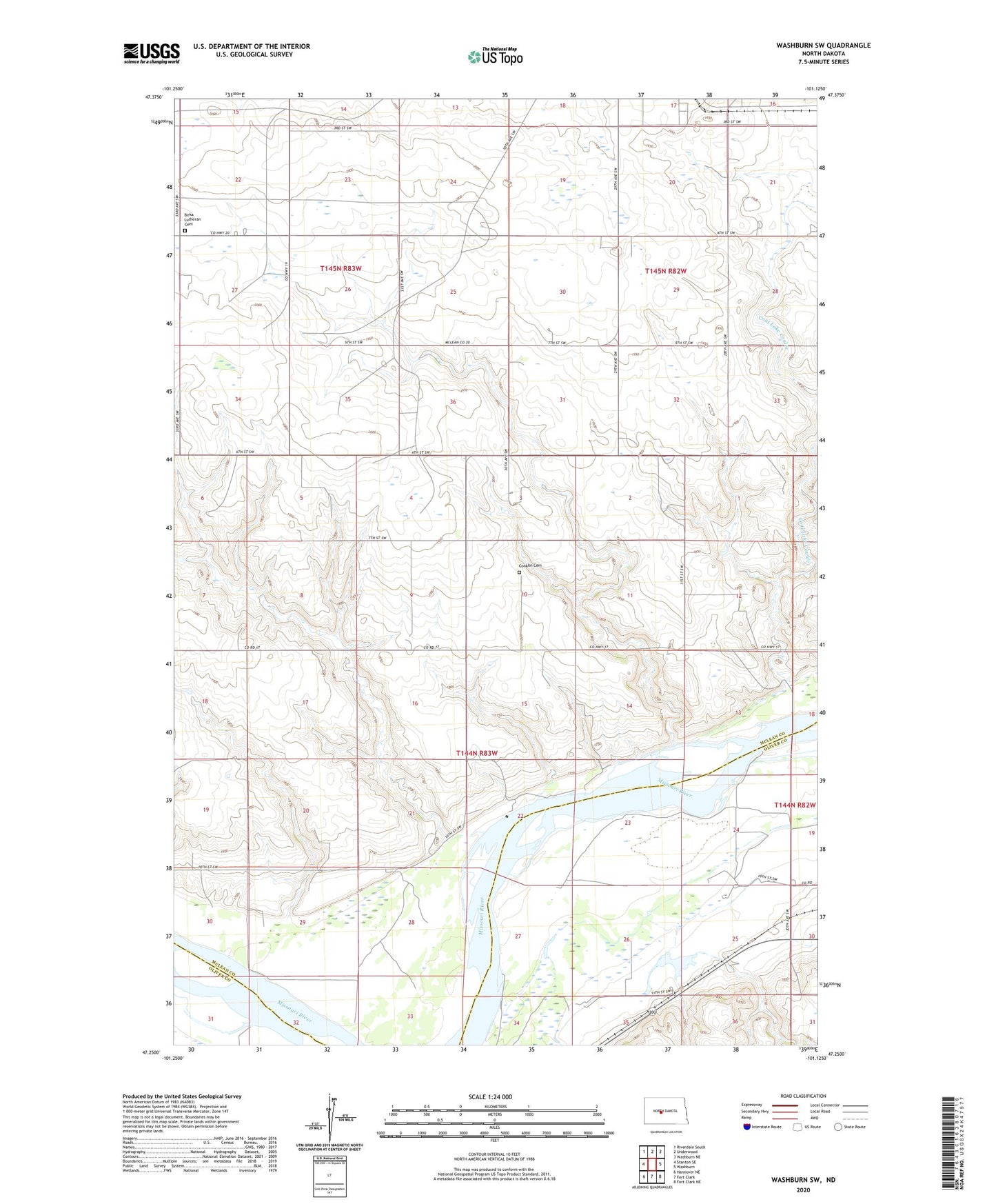
2020 topographic map quadrangle Washburn SW in the state of North Dakota. Scale: 1:24000. Based on the newly updated USGS 7.5' US Topo map series, this map is in the following counties: McLean, Oliver. The map contains contour data, water features, and other items you are used to seeing on USGS maps, but also has updated roads and other features. This is the next generation of topographic maps. Printed on high-quality waterproof paper with UV fade-resistant inks.
Quads adjacent to this one:
West: Stanton SE
Northwest: Riverdale South
North: Underwood
Northeast: Washburn NE
East: Washburn
Southeast: Fort Clark NE
South: Fort Clark
Southwest: Hannover NE
Contains the following named places: Birka Church, Birka Lutheran Cemetery, Black Diamond Mine, Coal Lake Coulee, Conklin Cemetery, Cullen Brothers Dam, Fort Clark Bend, Unorganized Territory of Underwood