MyTopo
Riverdale South North Dakota US Topo Map
Couldn't load pickup availability
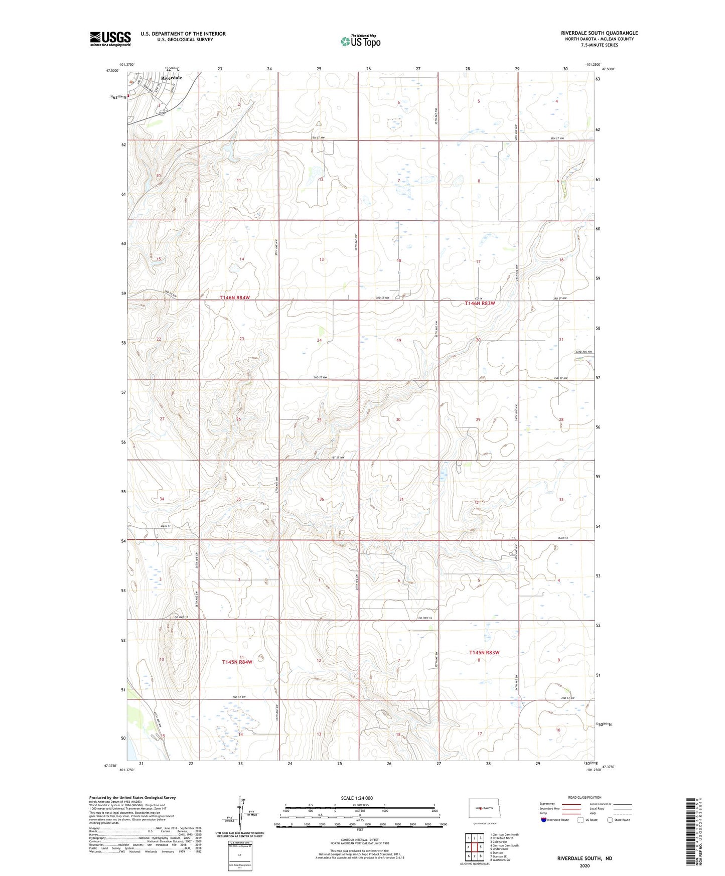
2024 topographic map quadrangle Riverdale South in the state of North Dakota. Scale: 1:24000. Based on the newly updated USGS 7.5' US Topo map series, this map is in the following counties: McLean. The map contains contour data, water features, and other items you are used to seeing on USGS maps, but also has updated roads and other features. This is the next generation of topographic maps. Printed on high-quality waterproof paper with UV fade-resistant inks.
Quads adjacent to this one:
West: Garrison Dam South
Northwest: Garrison Dam North
North: Riverdale North
Northeast: Coleharbor
East: Underwood
Southeast: Washburn SW
South: Stanton SE
Southwest: Stanton
This map covers the same area as the classic USGS quad with code o47101d3.
Contains the following named places: City of Riverdale, McLean Mercer Regional Library, Riverdale, Riverdale City Hall, Riverdale Emergency Services, Riverdale Fire Department, Riverdale Post Office, ZIP Code: 58565