MyTopo
Wolf Butte North Dakota US Topo Map
Couldn't load pickup availability
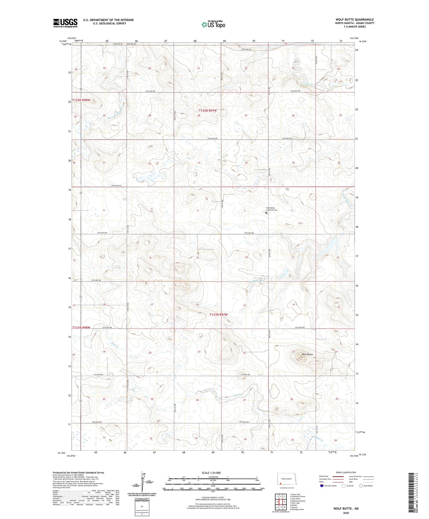
2024 topographic map quadrangle Wolf Butte in the state of North Dakota. Scale: 1:24000. Based on the newly updated USGS 7.5' US Topo map series, this map is in the following counties: Adams. The map contains contour data, water features, and other items you are used to seeing on USGS maps, but also has updated roads and other features. This is the next generation of topographic maps. Printed on high-quality waterproof paper with UV fade-resistant inks.
Quads adjacent to this one:
West: Whetstone Buttes
Northwest: Cedar Lake
North: Enterprise School
Northeast: Liens Dams
East: Ehler Lake
Southeast: Hettinger North
South: Bucyrus
Southwest: Reeder
This map covers the same area as the classic USGS quad with code o46102b7.
Contains the following named places: Darling Spring Townhall, Thorson Landing Strip, Township of Darling Springs, Township of Wolf Butte, Wolf Butte, Wolf Butte Church, Wolf Butte Dam, Wolf Butte Lutheran Cemetery, Wolf Butte Townhall