MyTopo
Avon OE N Ohio US Topo Map
Couldn't load pickup availability
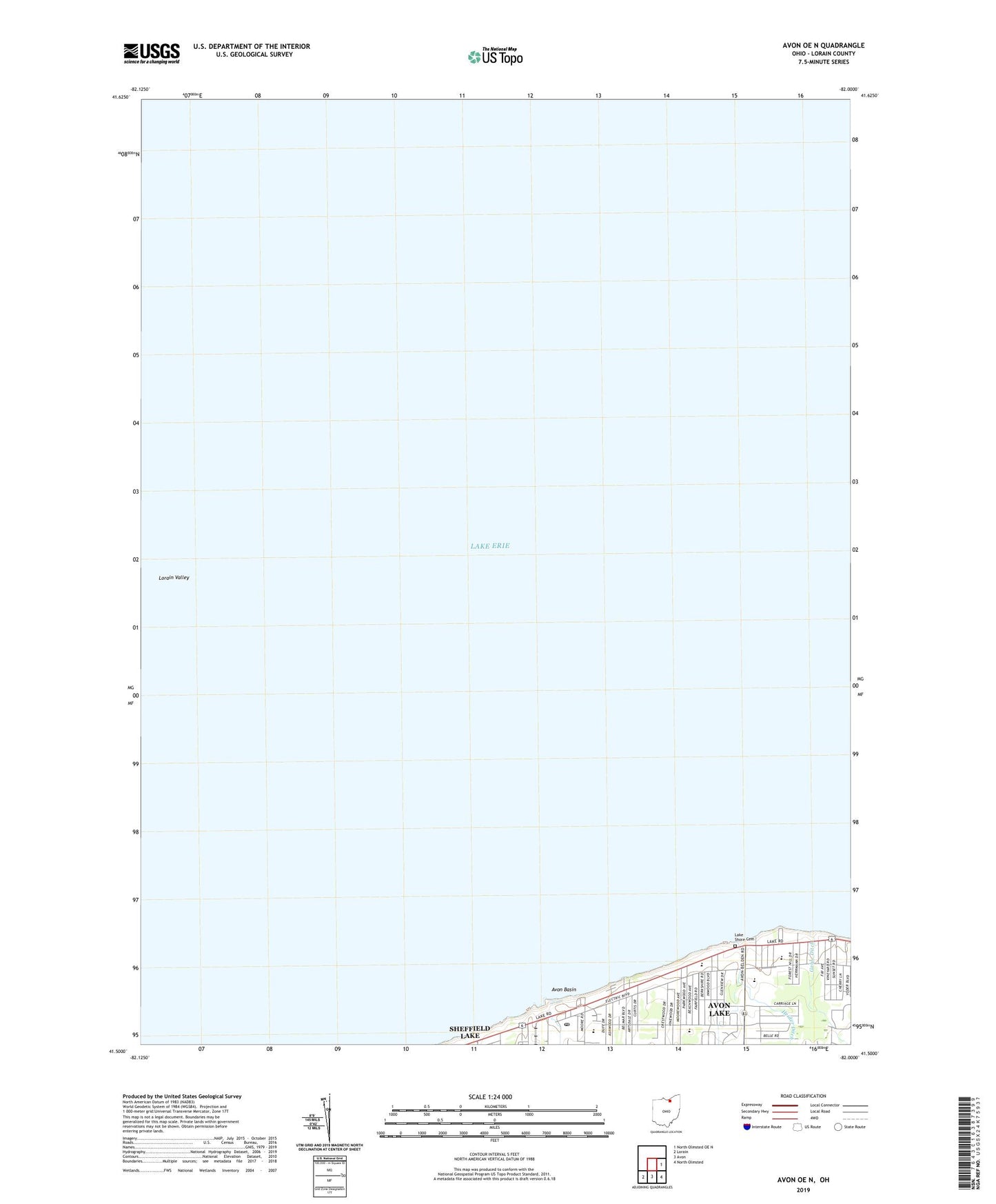
2023 topographic map quadrangle Avon OE N in the state of Ohio. Scale: 1:24000. Based on the newly updated USGS 7.5' US Topo map series, this map is in the following counties: Lorain. The map contains contour data, water features, and other items you are used to seeing on USGS maps, but also has updated roads and other features. This is the next generation of topographic maps. Printed on high-quality waterproof paper with UV fade-resistant inks.
Quads adjacent to this one:
East: North Olmsted OE N
Southeast: North Olmsted
South: Avon
Southwest: Lorain
Contains the following named places: Avon Basin, Avon Lake, Avon Lake Boat Club, Avon Lake Generating Station, Avon Lake High School, Avon Lake Memorial Stadium, Avon Lake Post Office, Avon Lake Presbyterian Church, Avon Lake Public Library, Avon Lake United Church of Christ, Avon Point, Beech Park, Blesser Field, Christ Evangelical Lutheran Church, Erieview Elementary School, Gable Ditch, Lake Shore Cemetery, Lorain Valley, Miller Road Park, Redwood Elementary School, Saint Joseph Roman Catholic Church, Saint Joseph School, Westview Elementary School