MyTopo
Eastlake Ohio US Topo Map
Couldn't load pickup availability
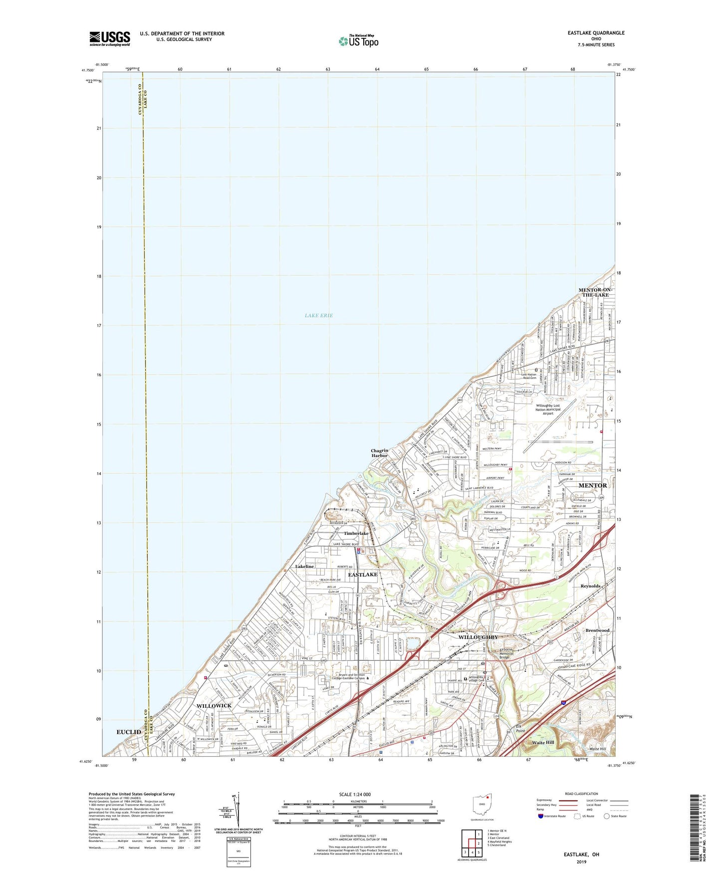
2023 topographic map quadrangle Eastlake in the state of Ohio. Scale: 1:24000. Based on the newly updated USGS 7.5' US Topo map series, this map is in the following counties: Lake, Cuyahoga. The map contains contour data, water features, and other items you are used to seeing on USGS maps, but also has updated roads and other features. This is the next generation of topographic maps. Printed on high-quality waterproof paper with UV fade-resistant inks.
Quads adjacent to this one:
Northeast: Mentor OE N
East: Mentor
Southeast: Chesterland
South: Mayfield Heights
Southwest: East Cleveland
This map covers the same area as the classic USGS quad with code o41081f4.
Contains the following named places: Airborne Memorial Bridge, Andrews School, Arrowhead Beach, Bellflower Elementary School, Bellflower Park, Bethel Lutheran Church, Brookwood Beach, Browning Elementary School, Camp Herrick, Chagrin Boating Club, Chagrin Harbor, Chagrin Harbor Beach Yacht Club, Chagrin Harbor Rural Station Post Office, Chagrin Lagoons Yacht Club, Chagrin River, Chagrin River Park, Chagrin River Yacht Club, Chargin Boat Club, Chargin Harbor Beach, Chargin Lagoons Yacht Club, Chargin River Yacht Club, City of Eastlake, City of Willoughby, City of Willowick, Classic Park, Daniels Park, Dudley Park, East Branch Chagrin River, East Lake Industrial Park, Eastlake, Eastlake City Hall, Eastlake Fire Department, Eastlake Middle School, Eastlake Police Department, Elk Point, Erie Side, Erieside Church, Erieside Post Office, First Baptist Church of Willowick, First Church of Christ Scientist, First Presbyterian Church, First United Church of Christ, George Washington Elementary School, Gilson Park, Grace Church, Grant Elementary School, Immaculate Conception Catholic Church, Immaculate Conception School, Jefferson Elementary School, Johnny Cake Ridge Golf Course, Kirtland Country Club, Lake Catholic High School, Lake County Hospital, Lake County Yacht Club, Lake Shore Christian Church, Lake Shore Church, Lake West Hospital, Lakeline, Lakeline Village Hall, Lakeshore Marina, Lincoln Elementary School, Longfellow Elementary School, Lost Nation Country Club, Lost Nation Road Cemetery, M And K Trailer Park, Manry Park, McKinley Elementary School, Memorial Junior High School, Mentor Fire Department Station 4, Mentor Green Mobile Home Park, Mentor Plains United Methodist Church, New Wave Church of God in Christ, Nike Site CL-13C, Nike Site CL-13L, North High School, North Shore Mall Shopping Center, Oak Hill Village, Orchard Mobile Home Park, Overlook Beach Park, Points East Shopping Center, Retention Basin Park, Reynolds, Reynolds Elementary School, Roosevelt Elementary School, Royalview Elementary School, Saint Clair Park, Saint Justin School, Saint Mary Magdalene School, Shoregate Elementary School, Shoregate Shopping Center, Shoregate United Methodist Church, Som-Euclid Shopping Center, South High School, Taft School, Tam-A-Roc Country Club, The Vineyards Shopping Center, Timberlake, Timberlake Village Hall, Todd Field, Trinity Church, Village of Lakeline, Village of Timberlake, Vinewood Beach, Waite Hill, Ward Brook, WELW-AM (Willoughby), WELW-AM (Willoughby-Eastlake), Wes Point Park, West Channel Yacht Club, West Pier Light, Willo Plaza Shopping Center, Will-O-Bee on the Lake, Willo-Lake Church of the Nazarene, Willoughbeach, Willoughby, Willoughby Baptist Church, Willoughby Church of God, Willoughby City Hall, Willoughby Commons Shopping Center, Willoughby Fire Department Station 1, Willoughby Fire Department Station 2, Willoughby Industrial Park, Willoughby Lost Nation Municipal Airport, Willoughby Municipal Park, Willoughby Police Department, Willoughby Post Office, Willoughby Public Library, Willoughby Village Cemetery, Will-O-Way Beach, Willowick, Will-O-Wick, Willowick Fire Department, Willowick Middle School, Willowick Post Office, Windsor - Laurelwood Center for Behavioral Medicine, ZIP Code: 44095


