MyTopo
Huron Ohio US Topo Map
Couldn't load pickup availability
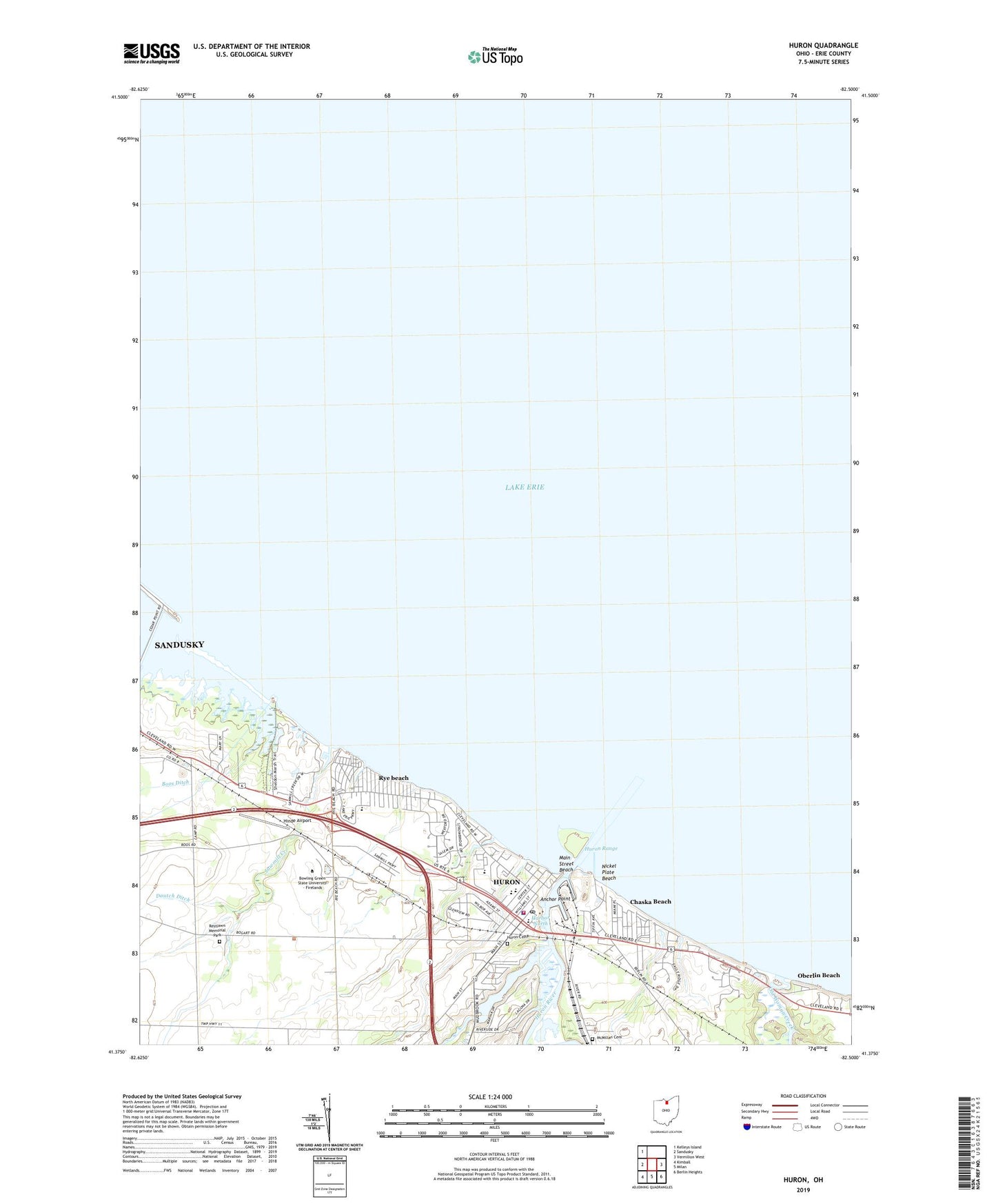
2023 topographic map quadrangle Huron in the state of Ohio. Scale: 1:24000. Based on the newly updated USGS 7.5' US Topo map series, this map is in the following counties: Erie. The map contains contour data, water features, and other items you are used to seeing on USGS maps, but also has updated roads and other features. This is the next generation of topographic maps. Printed on high-quality waterproof paper with UV fade-resistant inks.
Quads adjacent to this one:
West: Sandusky
Northwest: Kelleys Island
East: Vermilion West
Southeast: Berlin Heights
South: Milan
Southwest: Kimball
This map covers the same area as the classic USGS quad with code o41082d5.
Contains the following named places: Anchor Point, Anderson, Boos Ditch, Bowling Green State University - Firelands, Chaska Beach, Christ Episcopal Church, City of Huron, Commerce Plaza Shopping Center, East Breakwater Light, East Turning Basin, Enderle Berry Farm, Erie County, Fabens Park, First Baptist Church, First Presbyterian Church, Grand Forest Beach, Gull Harbor, Harbor Marina Park, Harbor North, Harbor Yacht Club, Hinde Airport, Huron, Huron Cemetery, Huron City Police Department, Huron Division of Fire, Huron High School, Huron Inner East Light, Huron Lagoons Marina, Huron Light, Huron Plaza Shopping Center, Huron Post Office, Huron Public Library, Huron Range, Huron River, Huron Yacht Club, James H McBride Arboretum, Lake Park, Main Street Beach, McCormick Middle School, McMillan Cemetery, Mud Brook, Mulberry Creek Herb Farm, Nickel Plate Beach, Nickleplate Park, North Palm Beach, Oberlin Beach, Ohio Street Elementary School, Old Woman Creek, Old Woman Creek Nature Preserve, Restlawn Memorial Park, Rye beach, Rye Beach Post Office, Saint Peter Catholic Church, Saint Peter Elementary School, Sawmill Creek, Sawmill Creek Golf Course, Sawmill Industrial park, Shawnee Elementary School, Sheldon Marsh Nature Preserve, The Chapel in Huron, Thunderbird Golf Course, Township of Huron, West Turning Basin, Woodlands Elementary School, Zion Evangelical Lutheran Church, ZIP Code: 44839


