MyTopo
Londonderry Ohio US Topo Map
Couldn't load pickup availability
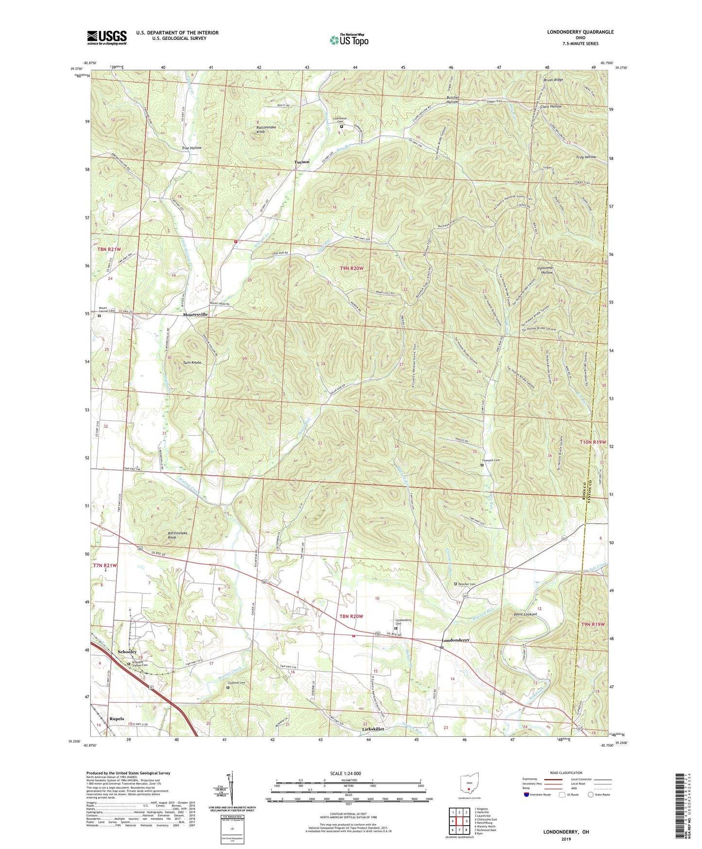
2019 topographic map quadrangle Londonderry in the state of Ohio. Scale: 1:24000. Based on the newly updated USGS 7.5' US Topo map series, this map is in the following counties: Ross, Vinton. The map contains contour data, water features, and other items you are used to seeing on USGS maps, but also has updated roads and other features. This is the next generation of topographic maps. Printed on high-quality waterproof paper with UV fade-resistant inks.
Quads adjacent to this one:
West: Chillicothe East
Northwest: Kingston
North: Hallsville
Northeast: Laurelville
East: Ratcliffburg
Southeast: Byer
South: Richmond Dale
Southwest: Waverly North
Contains the following named places: Bluelick Run, Butcher Hollow, Chapel Creek, Charleston, Charleston Cemetery, Claypool Cemetery, Cox Run, Cranberry Run, Etam Church, Frog Hollow, Goshen Run, Harrison Elementary School, Harrison Township Fire Department, Jones Ford, Kingdom of Heaven Church, Liberty Township Fire Department, Lickskillet, Little Walnut Creek, Londonderry, Londonderry Cemetery, Londonderry Elementary School, Londonderry Post Office, Mooresville, Mooresville Post Office, Mount Carmel Cemetery, Mount Carmel Church, Peecher Cemetery, Piny Run, Poe Run, Poe Valley, Point Lookout, Rattlesnake Knob, Rupels, Schooley, Schooley Post Office, Schooley Station Cemetery, Smiths Store, Spud Run, Spud Run Church, Sugar Run, Tar Hollow State Forest, Timmons Cemetery, Township of Harrison, Township of Liberty, True Hollow, Tucson, Tucson Post Office, Twin Knobs, United Church