MyTopo
Chillicothe East Ohio US Topo Map
Couldn't load pickup availability
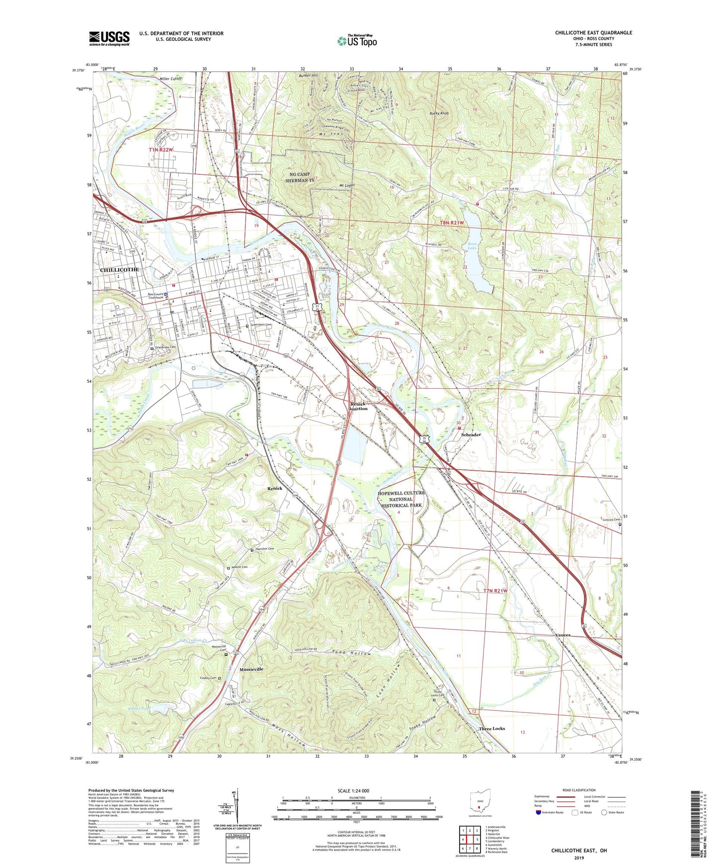
2023 topographic map quadrangle Chillicothe East in the state of Ohio. Scale: 1:24000. Based on the newly updated USGS 7.5' US Topo map series, this map is in the following counties: Ross. The map contains contour data, water features, and other items you are used to seeing on USGS maps, but also has updated roads and other features. This is the next generation of topographic maps. Printed on high-quality waterproof paper with UV fade-resistant inks.
Quads adjacent to this one:
West: Chillicothe West
Northwest: Andersonville
North: Kingston
Northeast: Hallsville
East: Londonderry
Southeast: Richmond Dale
South: Waverly North
Southwest: Summithill
This map covers the same area as the classic USGS quad with code o39082c8.
Contains the following named places: Armstrong Burials, Bridge Street Church of Christ, Calvary Lutheran Church, Central Center Shopping Center, Central Elementary School, Chillicothe, Chillicothe City Hall, Chillicothe Fire Department Station 1, Chillicothe Fire Department Station 3, Chillicothe First Church Of The Nazarene, Chillicothe High School, Chillicothe Mall Shopping Center, Chillicothe Plaza Shopping Center, Chillicothe Police Department, Chillicothe Post Office, Chillicothe Water Treatment Plant, Christian Life Tabernacle Church, City of Chillicothe, Concord Cemetery, Concord Church, Coon Hollow, Crestview Church, Deadman Crossing, District 9 Heliport, Dry Run, Eastern Public School, Emmanuel Baptist Church, Eustis, Findley Cemetery, First Christian Church, First Church of Christ Scientist, First Presbyterian Church, First United Methodist Church, Flaget School, Franklin, Grandview Cemetery, Great Seal State Park, Greenlawn Cemetery, Hamilton Cemetery, Harvest Chapel Church of God, High Street Church of Christ in Christian Union, Hilltop Mission, Holiness Chapel, Hopewell Elementary School, Indian Creek, Jarvis, Jarvis Post Office, Jefferson Avenue Church of Christ in Christian Union, Knoles Pond, Knoles Pond Dam, Liberty Baptist Church, Liberty School, Lick Run, Majestic Theatre, Malone Cemetery, Malour School, Mary Lou Patton Park, Massieville, Massieville Cemetery, Massieville Census Designated Place, McArthur Elementary School, Mead Park, Miller Cutoff, Moss Hollow, Mount Ives, Mount Logan, Mount Logan Middle School, Mount Logan School, New Jerusalem Temple, North Branch Indian Creek, P H Glatfelter Company Ambulance, Paint Creek, Poland Park, Quinn Chapel African Methodist Episcopal Church, Renick, Renick Junction, Riton, Rocky Knob, Ross County Courthouse, Ross County Lake State Wildlife Area, Ross County Museum, Ross County Sheriff's Office, Ross Lake, Ross Lake Dam, Saint Marys Catholic Church, Saint Marys School, Saint Pauls Episcopal Church, Saint Peters Catholic Church, Salem Church, Schrader, Scioto River Canal Lands Access State Wildlife Area, Scioto Township Fire Department Station 1, Scioto Trail State Forest, Seymoreville, Smith Junior High School, Snake Hollow, Springfield Township Volunteer Fire Department Station 1, Springfield Township Volunteer Fire Department Station 2, Story Mound State Memorial, Tabernacle Baptist Church, The Church of Jesus Christ of Latter Day Saints, Three Locks, Three Locks Cemetery, Tiffin Elementary School, Toad Hollow, Township of Scioto, Township of Springfield, Trinity United Methodist Church, Tyler Memorial United Methodist Church, Vauces, Veterans Administration Hospital Heliport, Walnut Street United Methodist Church, WBEX-AM (Chillicothe), WCHI-AM (Chillicothe), Wesleyan Church, Western Junior High School, WFCB-FM (Chillicothe), WKKJ-FM (Chillicothe), Worthington Elementary School, Youctangee Park, Zane Plaza Shopping Center, Zion Baptist Church, ZIP Code: 45601


