MyTopo
Lucas Ohio US Topo Map
Couldn't load pickup availability
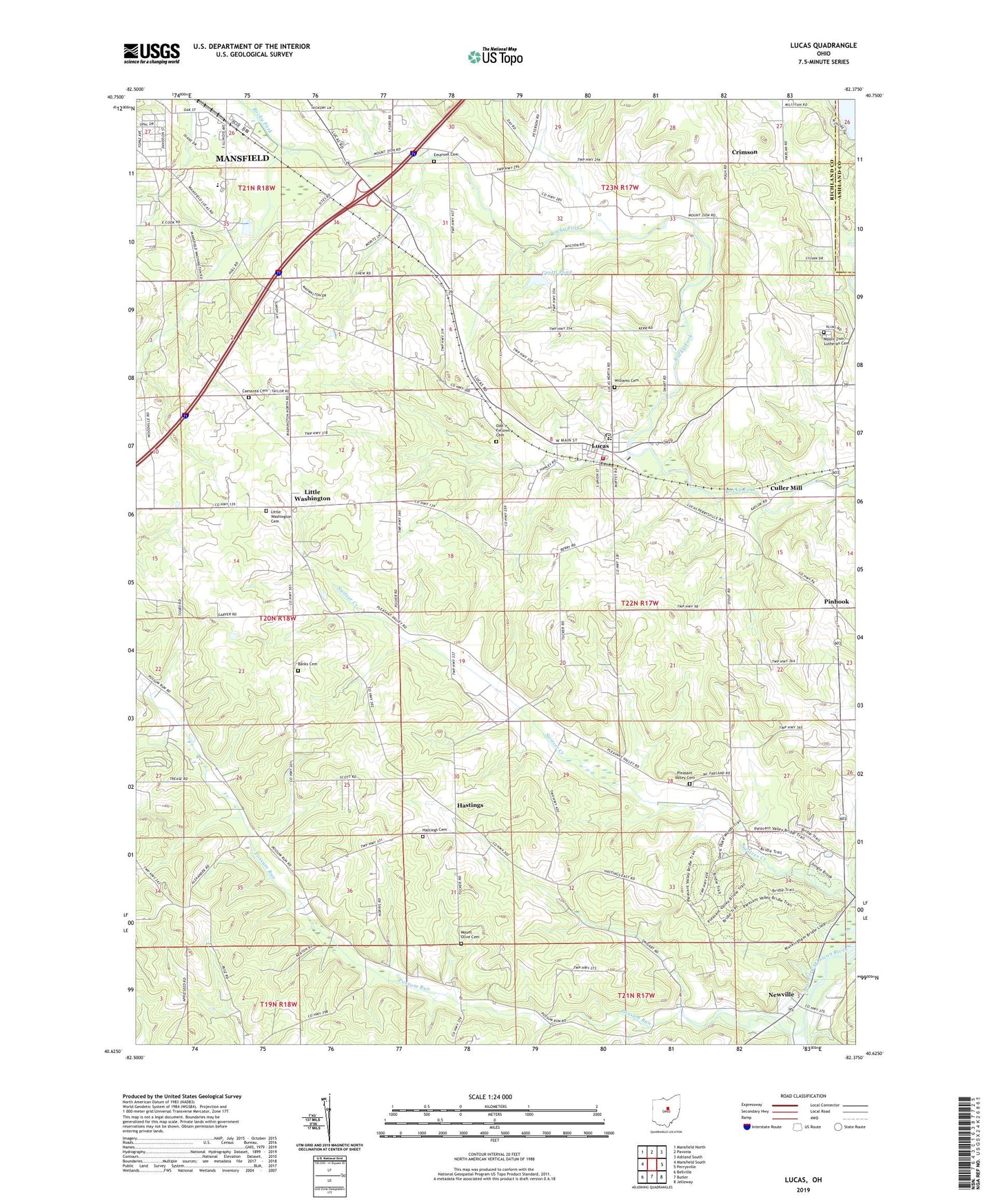
2023 topographic map quadrangle Lucas in the state of Ohio. Scale: 1:24000. Based on the newly updated USGS 7.5' US Topo map series, this map is in the following counties: Richland, Ashland. The map contains contour data, water features, and other items you are used to seeing on USGS maps, but also has updated roads and other features. This is the next generation of topographic maps. Printed on high-quality waterproof paper with UV fade-resistant inks.
Quads adjacent to this one:
West: Mansfield South
Northwest: Mansfield North
North: Pavonia
Northeast: Ashland South
East: Perrysville
Southeast: Jelloway
South: Butler
Southwest: Bellville
This map covers the same area as the classic USGS quad with code o40082f4.
Contains the following named places: Banks Cemetery, Caesarea Baptist Church, Caesarea Cemetery, Center Hall School, Cesarea, Crimson, Crimson Post Office, Culler Mill, D And D Orchard Farm, Diamond Hill Chapel, Emanuel Cemetery, Equestrian Valley Farm, Excelsior School, Foursquare Gospel Church, Geottl Pond, Geottl Pond Dam, Greenfield Estates Mobile Home Park, Hastings, Hastings Cemetery, Hastings Post Office, Hidden Hollow Camp, Little Washington, Little Washington Cemetery, Little Washington Congregational Church, Lucas, Lucas Elementary School, Lucas High School, Lucas Post Office, Madison South Elementary School, Malabar Farm State Park, Maple Grove School, Monroe Township Emergency Medical Services, Monroe Township Lucas Fire Department, Mount Olive Cemetery, Mount Zion Church, Mount Zion Lutheran Cemetery, Newville, Newville Church, Newville Post Office, Odd Fellows Cemetery, Pinhook, Pleasant Hall School, Pleasant Valley Cemetery, Pleasant Valley Church, Possum Run, Possum Run Greenhouses, Richland Hospital, Saint James School, School Number 4, Shererwood Farm, Township of Monroe, Union Hall School, Valley Hall School, Village of Lucas, West Shore Cottage Area, White Wall School, Williams Cemetery, WOSV-FM (Mansfield), ZIP Code: 44843


