MyTopo
Walnut Run Ohio US Topo Map
Couldn't load pickup availability
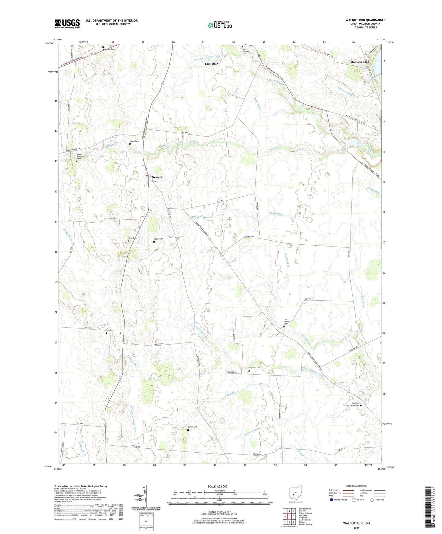
2019 topographic map quadrangle Walnut Run in the state of Ohio. Scale: 1:24000. Based on the newly updated USGS 7.5' US Topo map series, this map is in the following counties: Madison. The map contains contour data, water features, and other items you are used to seeing on USGS maps, but also has updated roads and other features. This is the next generation of topographic maps. Printed on high-quality waterproof paper with UV fade-resistant inks.
Quads adjacent to this one:
West: Florence
Northwest: South Vienna
North: London
Northeast: West Jefferson
East: Big Plain
Southeast: Mount Sterling
South: Midway
Southwest: Jeffersonville
Contains the following named places: Ambassador Bible Institute, Black Ditch, Bradford Branch, Burr Farms, Carson Cemetery, Central Township Fire Department Station 2, Century Two Farms, Chenoweth Ditch, Chrisman Ditch, Clearview Farm, Concord Methodist Episcopal Church, Concord School, Crawford Ditch, Dunkin Ditch, Emma Welch Ditch, Evans Cemetery, Filmore Jackson Ditch, First Church of God, Hickory Grove Golf Course, Johnston-McClimans Cemetery, Jones Ditch, Kilgore Cemetery, Kirkwood Cemetery, Madison Ditch, Madison Lake, Madison Lake Dam, Madison Lake State Reserve, Madison Rural Elementary School, Madison-Plains High School, Merri-Mac Park, Newport, Old Johnston Cemetery, Paint Township Cemetery, Pentecostal Church of Christ, Phifer Ditch, Roberts Airport, Roberts Ditch, Saint Patrick Cemetery, Seaburn Farms, Shepherd Cemetery, Sifrit Cemetery, Sugar Maple Hiking Trail, Walnut Run