MyTopo
Barnsdall Oklahoma US Topo Map
Couldn't load pickup availability
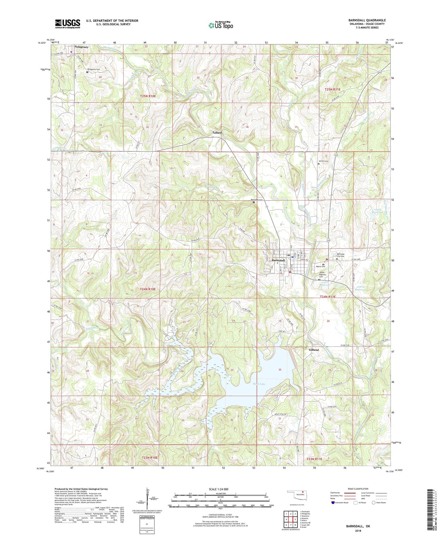
2018 topographic map quadrangle Barnsdall in the state of Oklahoma. Scale: 1:24000. Based on the newly updated USGS 7.5' US Topo map series, this map is in the following counties: Osage. The map contains contour data, water features, and other items you are used to seeing on USGS maps, but also has updated roads and other features. This is the next generation of topographic maps. Printed on high-quality waterproof paper with UV fade-resistant inks.
Quads adjacent to this one:
West: Wynona
Northwest: Pawhuska
North: Nelagoney
Northeast: Woolaroc
East: Wolco
Southeast: Avant
South: Avant NW
Southwest: Hominy NE
Contains the following named places: Barnsdall, Barnsdall City Cemetery, Barnsdall Division, Barnsdall Elementary School, Barnsdall Fire Department, Barnsdall High School, Barnsdall Junior High School, Barnsdall Oil Field, Barnsdall Police Department, Barnsdall Post Office, Barnsdall Rural Fire Department, Birch Creek, Birch Creek Oil Field, Birch Creek South Oil Field, Birch Dam, Birch Lake, Birch Reservoir, Cedar Creek, Choteau Creek, Christian Church, City of Barnsdall, Cochahee Creek, Dog Thresher Creek, East Choteau Creek, East Pershing Oil Field, Fort Gibson Dam, Fourmile Creek, Free Will Baptist Church, Gilland, James Bigheart Cemetery, Javine Cemetery, Nelagoney Cemetery, Nelagoney Rural Volunteer Fire Department, Nichols, Oknoname 113071 Dam, Oknoname 113071 Reservoir, Oknoname 113072 Dam, Oknoname 113072 Reservoir, Oknoname 113073 Dam, Oknoname 113073 Reservoir, Pennel Creek, Quapaw Oil Field, Red Eagle Branch, Red Eagle Cemetery, Reece Cemetery, Tallant, Township of Bigheart, United Methodist Church, West Barnsdall Oil Field, ZIP Code: 74002