MyTopo
Wynona Oklahoma US Topo Map
Couldn't load pickup availability
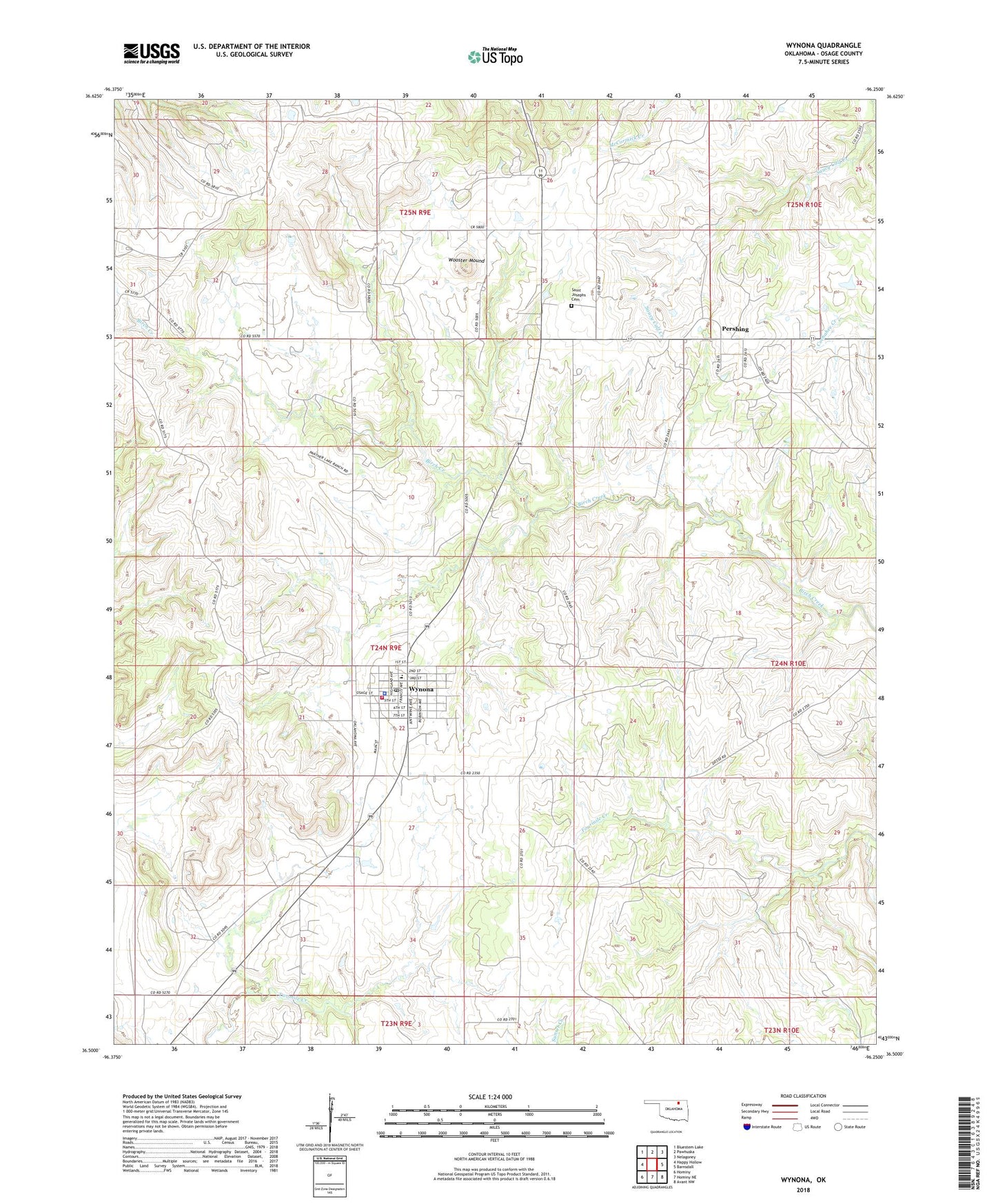
2022 topographic map quadrangle Wynona in the state of Oklahoma. Scale: 1:24000. Based on the newly updated USGS 7.5' US Topo map series, this map is in the following counties: Osage. The map contains contour data, water features, and other items you are used to seeing on USGS maps, but also has updated roads and other features. This is the next generation of topographic maps. Printed on high-quality waterproof paper with UV fade-resistant inks.
Quads adjacent to this one:
West: Happy Hollow
Northwest: Bluestem Lake
North: Pawhuska
Northeast: Nelagoney
East: Barnsdall
Southeast: Avant NW
South: Hominy NE
Southwest: Hominy
This map covers the same area as the classic USGS quad with code o36096e3.
Contains the following named places: Band Wheel Oil Field, Bulldog Oil Field, New England Oil Field, Pershing, Pershing Census Designated Place, Pershing Oil Field, Saint Josephs Cemetery, Town of Wynona, Wooster Mound, Wynona, Wynona Elementary School, Wynona High School, Wynona Oil Field, Wynona Police Department, Wynona Post Office, Wynona Volunteer Fire Department, ZIP Code: 74084