MyTopo
Big Cabin Oklahoma US Topo Map
Couldn't load pickup availability
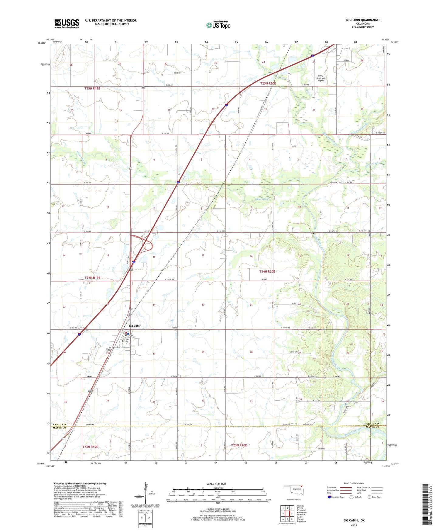
2019 topographic map quadrangle Big Cabin in the state of Oklahoma. Scale: 1:24000. Based on the newly updated USGS 7.5' US Topo map series, this map is in the following counties: Craig, Mayes. The map contains contour data, water features, and other items you are used to seeing on USGS maps, but also has updated roads and other features. This is the next generation of topographic maps. Printed on high-quality waterproof paper with UV fade-resistant inks.
Quads adjacent to this one:
West: White Oak
Northwest: Estella
North: Vinita
Northeast: Vinita NE
East: Ketchum
Southeast: Spavinaw
South: Strang
Southwest: Adair
Contains the following named places: Big Cabin, Big Cabin Cemetery, Big Cabin Police Department, Big Cabin Post Office, Big Cabin Volunteer Fire Department, Bull Creek, Hulwe, Ironside School, Landrum Cemetery, Little Cabin Creek, Locust Creek, Town of Big Cabin, Township 8, Vinita Municipal Airport, White Oak Creek, ZIP Code: 74332