MyTopo
Fay Oklahoma US Topo Map
Couldn't load pickup availability
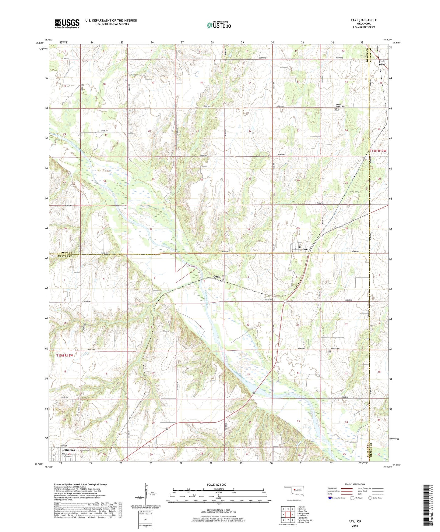
2018 topographic map quadrangle Fay in the state of Oklahoma. Scale: 1:24000. Based on the newly updated USGS 7.5' US Topo map series, this map is in the following counties: Custer, Dewey, Blaine. The map contains contour data, water features, and other items you are used to seeing on USGS maps, but also has updated roads and other features. This is the next generation of topographic maps. Printed on high-quality waterproof paper with UV fade-resistant inks.
Quads adjacent to this one:
West: Rough Creek
Northwest: Parallel
North: Oakwood
Northeast: Eagle City
East: Oakwood SE
Southeast: Squaw Creek
South: Weatherford NW
Southwest: Clinton NE
Contains the following named places: Caldwell Dam, Caldwell Reservoir, Cody, Fay, Fay Census Designated Place, Fay Post Office, Liberty Cemetery, Mount Hope Cemetery, Nobscot, Rough Creek, Thomas - Fay - Custer Elementary School, Thomas - Fay - Custer High School, Thomas - Fay - Custer Junior High School, Township of Boyd